This is not a storm chase log. October 26, 2021 was my 5-year anniversary with Elizabeth. I am a good fiance. I did not storm chase. However, I did still see a tornado by the end of the night. This will be a quick look into how I called my shot early and lived to see my forecast come true.
Tuesday had the look of a possible severe event for days. It was one of those “okay, we’re bringing 60s dewpoints into Kansas along a sharp dryline, probably want to keep an eye on this” events that pattern recognition tells you will be a severe weather day, but CAMs remain eerily quiet on. The SPC issued an enhanced risk for severe weather out in western Oklahoma, but I met that with a healthy dose of skepticism. An even healthier dose was reserved for anyone thinking they were going to see tornadoes on a day where storms would initiate at sunset at the earliest. As I saw it, a broken squall line was likely to evolve and gradually weaken as it traversed Oklahoma from west to east, likely reaching Norman around midnight. By midafternoon, I had upgraded my thinking to consider that we might end up with a rather robust MCS. Then, at about 4:00, short-range models started showing a somewhat nasty environment as moisture return occurred on a larger magnitude over a larger area than morning models had shown.
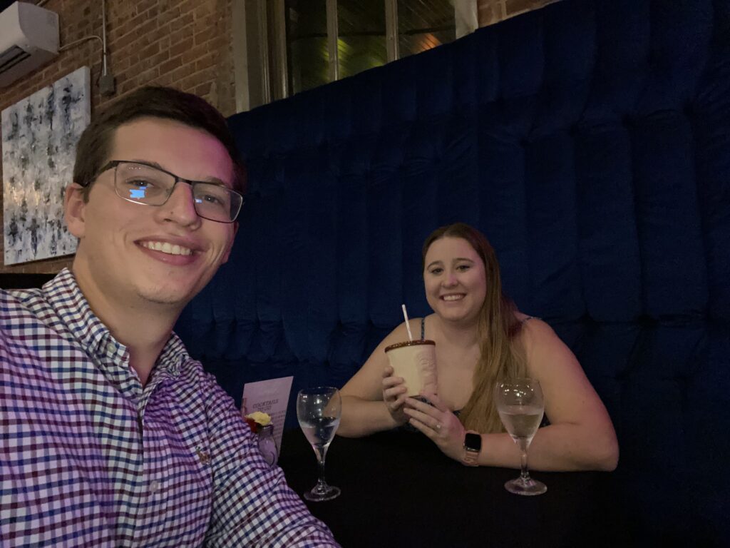
For the next 8 hours, I literally guided a tornado right into Norman. First, of course, like the great fiance I am, I took Elizabeth to Scratch to celebrate 5 years together. And yes, because I am a great fiance, I didn’t just pay for dinner, but let her order not one, but *two* fancy cocktails. I truly am a keeper.
The weather scene was admittedly quite eerie when we got to scratch at 6:30. It was already essentially twilight, and low-level convective rolls screamed from southeast to northwest under a ripping low-level jet. Above it, a pale blue sky faded to darkness. I commented to Elizabeth that it looked like B-roll to Twister outside.
We got back from the restaurant at about 8:00, just as storms were beginning to establish themselves out in the western part of the state. A loosely multicellular development was trying to congeal in northwest Oklahoma, while a gradual uptick in convective activity was also occurring out in west Texas. The Clinton tornado two weeks prior had been characterized by a small window where theta-e advection was strong enough to overcome nocturnal cooling and promote low-level instability. Now, I was seeing short-term models show that same potential over Oklahoma.
For a while, I entertained the thought that we could get goalposted by the developing lines of storms. I watched KOCO with Elizabeth, who was certainly feeling her two cocktails. They tracked an MCS over northwest Oklahoma moving away. I was more interested in the MCS developing over the Caprock to our south, but doubted it would lift north toward us. Then a powerful rear-inflow-jet developed and yeeted the whole line northeastward.
As I explained in that thread, I thought that the MCS may have shot its bolt a little too early for I-35 to get maximum impacts – the exception was the developing bookend vortex region, which I pegged to go somewhere just west of OKC. And indeed, that region of theta-e advection that I had seen on models earlier kept the MCS holding on in a slightly decaying but mostly steady-state form.
The only problem was that it was coming here all the way from Altus. Even moving at 40-50 mph, that’s a long trip. I was tired, and Elizabeth had long since passed out in bed to the sporadic sounds of TV coverage. At 10:30, I made a snap decision – I was going to take a quick nap and set an alarm for 11:20 to make sure we didn’t get swept away by a tornado. I instantly passed out, and popped back awake when my phone started buzzing in my hand to find that the storms were drawing closer and still looking rather mature.
Mesovortices started popping up as the line approached the OKC metro, in the most predictable fashion. The opening salvo was a tiny TDS near Union City. Then a couplet developed near Amber. Little appendages developed further down the line as storms tried to catch the gust front.
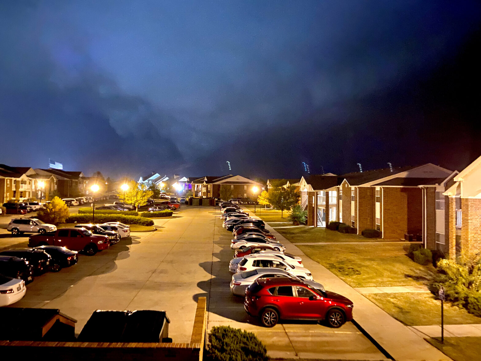
Fortunately, the couplet in question got whacked off of its northeast track and ended up spinning more eastward toward Purcell. But I still kept an eye out, and headed out to the porch with an alert Scipio around this time. There was almost no lightning in the leading convective line to help illuminate things. At 12:17 a.m, Sam sent a Discord message about a couplet developing near Blanchard. I had noticed it on radar, and decided to take Scipio out to 24th to get a better visual to the west. We high-stepped over to the street and were treated to a nocturnal bottom-lit shelf. At 12:23, this was my view:

We shifted north a bit to get a view more to the northwest over the Wal-Mart. There wasn’t much. I watched it like a hawk for several minutes, taking care to remember to get back to my apartment before the rain, but concluded there was nothing to see. I’d stayed up until 12:30 for a whole nothingburger. Here was my view at 12:29 right before Scipio and I headed home:

Along the way, I lamented in Discord that the unstable air must have been just to our west. Either way, the line was no more than 10 minutes out with a promise of stratiform lightning to lull me to sleep before my workday tomorrow. The dog and I started to run home, then fell into a more leisurely pace, only speeding back up to cross the street twice in front of cars. It was still only a short 5-minute walk home, accentuated by something that I would describe as a “boofly” cloud that had appeared to my north in the last few minutes without my noticing. Some sort of laminar scud bomb? An undercut meso? I wasn’t sure. Either way, it was late enough, I decided a few more minutes watching it sail past wouldn’t hurt. I quietly unlocked the apartment, took Scipio’s leash off of his collar, hung it back up by the door, and walked over to our balcony to watch the gust front come through. No sooner had I stepped out than tornado sirens began.
Now I was disoriented. That boofly cloud was directly to my north and… was a bowl? If those were tornado sirens, that made this the wall cloud, right? The couplet was going to pass to our north and this seemed to line up. Should I wake Elizabeth up? Well, I’d never closed the porch door, so if the sirens woke her up, she would join me. Otherwise, the 30 seconds it would take to wake her up seemed like a waste. No, what I should do now, with Scipio flitting around my legs along the porch railing, was stick my phone camera up and point it at the wall cloud.
At 12:37:

I switched to video, and observed the slow rotation of the big wall cloud. No lightning flashes lit the bottom of it, but the left side seemed to have some sort of triangle underneath it. Rain started to pelt me, even though we were decently ahead of the main line. This was the RFD rain from the little hook sticking out ahead of the MCS.
I switched off to video and back to my camera. At 12:38:

People were commenting on the presence of a debris ball from KTLX. Was that feature it? It would correlate timewise. Holy shit, that was a tornado!
The big, roiling mass quickly receded from view. Within moments, the tornado sirens that had been wailing stopped. The cold rain had momentarily receded, but the main line was arriving soon. I was still stunned at what had happened in just 10 minutes. In a slight daze, I walked inside, locked the porch door, and awoke Elizabeth by announcing, “Well I guess you can sleep through tornado sirens.” Her half-asleep reply, “Tornado sirens aren’t meant for indoor use”, was an iconic response. Once I informed her that I had just seen a tornado, she woke up quickly. Now the main line came in. We turned the lights out, opened the blinds, and let Scipio ease under the covers to hide from the closer rumbles of thunder. For the next 30 minutes, too amped to sleep, I laughed at the sheer absurdity of making an unlikely tornado forecast and having it verify in the way it did. Even funnier, my image was the only clear one I ever saw of the tornado – in NORMAN, OKLAHOMA. It landed my image on KOCO the next morning. Classmates of mine drove hours that night to chase in the dark, and all I did was take Scipio out to the porch on a hunch.