They say that nobody shows as much zeal for their new faith and traditions as much as someone who converts to Catholicism. I’m not sure how true that is; it sounds good though. And I sort of get it. Maybe this isn’t a one-to-one comparison, but John Muir became one of the most respected wilderness voices in part because of his reverential treatment of nature. In his eyes, nature was a living embodiment of religion. If that’s the case, then I can imagine different parts of the world with their various geographies being different religious sects. And if you can follow that analogy, you can understand when I say that Elizabeth and I were becoming zealous converts to the church of the San Juan Mountains.
To extend the metaphor further, if the San Juans were a religious experience, then Elizabeth and I were headed toward one of the prime cathedrals today: Telluride. Seated on the other side of the glorious Sneffels Range compared to Ouray, we’d be heading in the same direction this morning until we got to Ridgway. From there, it was a big roundabout loop on the San Juan Scenic Skyway to get into Telluride. I let Elizabeth slee as long as I could, which was just about long enough to let some sunlight start peering around the curtains. Normally she can be just a little bit grumpy when woken up in the morning, but the cool Montrose air and the promise of a fresh day of adventure can work wonders in getting someone reconciled to the day.
It was a stunning morning. There were some clouds, but sunshine was peaking through. The drive from Montrose to Telluride is only a little over an hour, so we had a full day of adventure ahead. Our first stop would be at the fork in the highways at the little town of Ridgway, nestled right at the foot of the mountains. Here I had found a bookstore with a cafe called Cimarron Coffee and Books right next to the park in town. It sounded like a quaint spot to get a latte and a breakfast sandwich, and I’m a firm believer that you should always try something local when you’re traveling and have the chance.
The bookstore was cute in a prosaic way. There were some interesting titles to browse while Elizabeth waited for her latte – some hiking guides, some geography books, and one that caught my eye about living in Colorado in the climate change era (interesting read, it appeared). Unfortunately, the food options themselves were rather limited. Each of us ended up with a muffin supplemented by a granola bar or two from our early-trip Target run. You don’t win every time you go for a local spot, but at least this wasn’t anything close to a mood-killer.
After the breakfast run, we were officially on State Highway 62, which goes directly west out of Ridgway before winding way uphill and southwestward around the mountains. I can’t emphasize this enough: this is one of the most beautiful drives of my life. The rangeland around the mountains was a brilliant, late-May green. The peaks were jagged and snow-capped, reaching up into a blue, blue sky. It literally looked the way that mountains can only look in the pictures, except there was that inescapable largeness feeling you get every time you see a mountain in person instead of in a picture. There was a pull-off near the top of the pass outside of town. We blew by it almost before we saw it, but I made a mental note to come back later.
From this awe-inspiring early height, the highway behind the pass went down, down, down. Like, take-your-foot-off-the-gas-for-minutes-at-a-time levels of down. The road followed a little creek ever further until now we were in a gorge with big Utah-red boulders on the mountainsides. Right when the highway finally started to flatten out, we reached another intersection. This time, our navigation told us to go left on State Highway 145. We followed the banks of the roaring San Miguel River, swollen as all of its compatriots with fresh snowmelt, heading back uphill toward its source near Telluride. The highway went through the tiny mining towns of Placerville and Sawpit, then it finally flattened out and opened up into a wide box canyon. The mountains were huge at the far end of the valley, still miles and miles away. Welcome to Telluride.
I took the final stretch into town nice and slow, not only because the law required it, but because the sights were truly awe-inspiring. Traffic into Telluride was busy – although tourist season had just begun, there was a famous yuppie film festival in town – Mountainfilm Festival 2024. People were wandering the streets, banners were hung throughout the downtown, and there was a general bustle. For that reason, we decided it was probably best to get our limited-parking hiking out of the way early and then come back into town afterwards to explore/gift shop.
The target was the Bridal Veil Trail, maybe a mile or so east of town. Here the mountains really start to squeeze either side of the broad box canyon so that you feel like you’re sitting right at the head of the known world. The morning shadows were long and the day was cool; perfect for a hike. There were thousands of aspen trees up at this elevation (Telluride sits at a lofty 8,700 feet, and we were above town) just beginning to bud; I commented to Elizabeth that this must be an amazing place to visit during the fall.
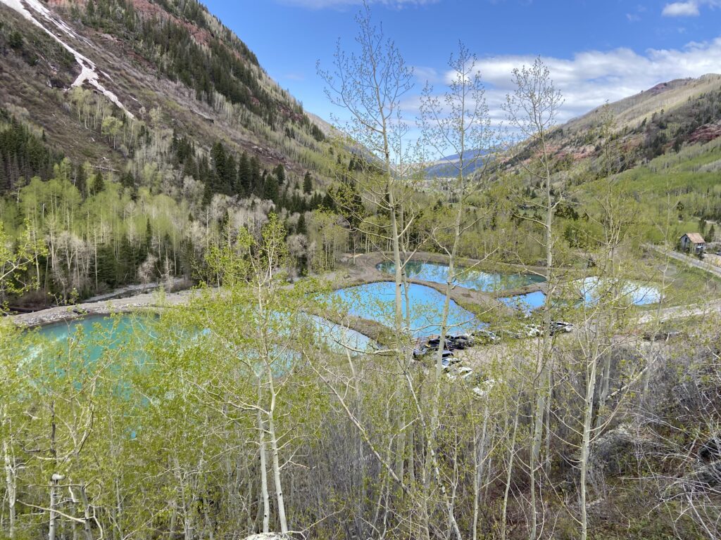
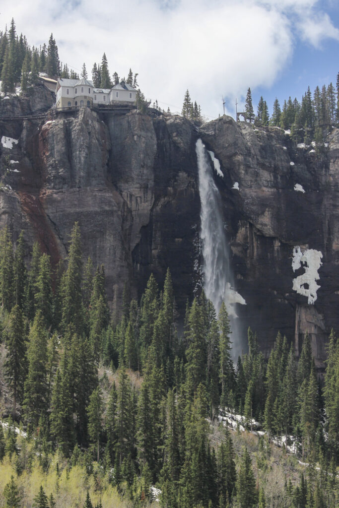
The main feature of the hike was visible even here from the parking lot: Bridal Veil Falls. At 365 feet, it’s the tallest free-flowing waterfall in the state of Colorado. From the parking lot, it was uptrail and uphill of us to the due south. On top of the cliff face near the waterfall, there’s an old power plant. I doubt it’s providing power anymore, but the building does add to the beauty.
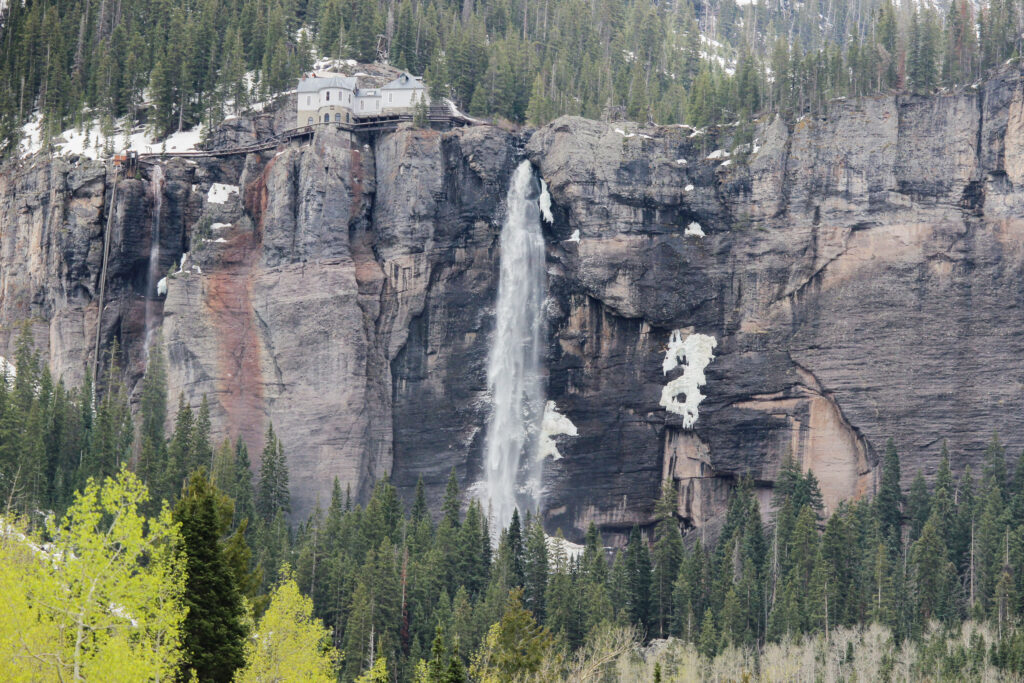
Let’s turn that into an AirBNB, no?
Our hike got started at about 9:30 – not too shabby for an hour+ drive to get there. The parking lot was full but not packed, there was a port-a-potty available, and I was feeling good.
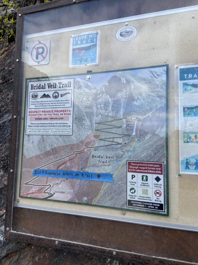
As the map shows, we had about 850 feet to climb uphill over the course of roughly one mile. That’s not quite as steep as the Bear’s Hump in Waterton Lakes (700 feet in 0.7 miles), but it was a similar sort of short, punishing climb with a rewarding view. The trail map warned us of avalanche/snow debris on the trail, which was kind of fun to think about in the abstract at least.
And just like that we were on the up and up. There were a few other hikers going at roughly the same time as us, including an older Asian couple that was making at least the same pace. Between that the Ouray Perimeter Trail, I found myself wondering if Elizabeth and I had lost our fastballs. Were we just destined to be slow, safe trail people from now on?
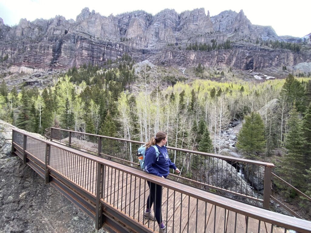
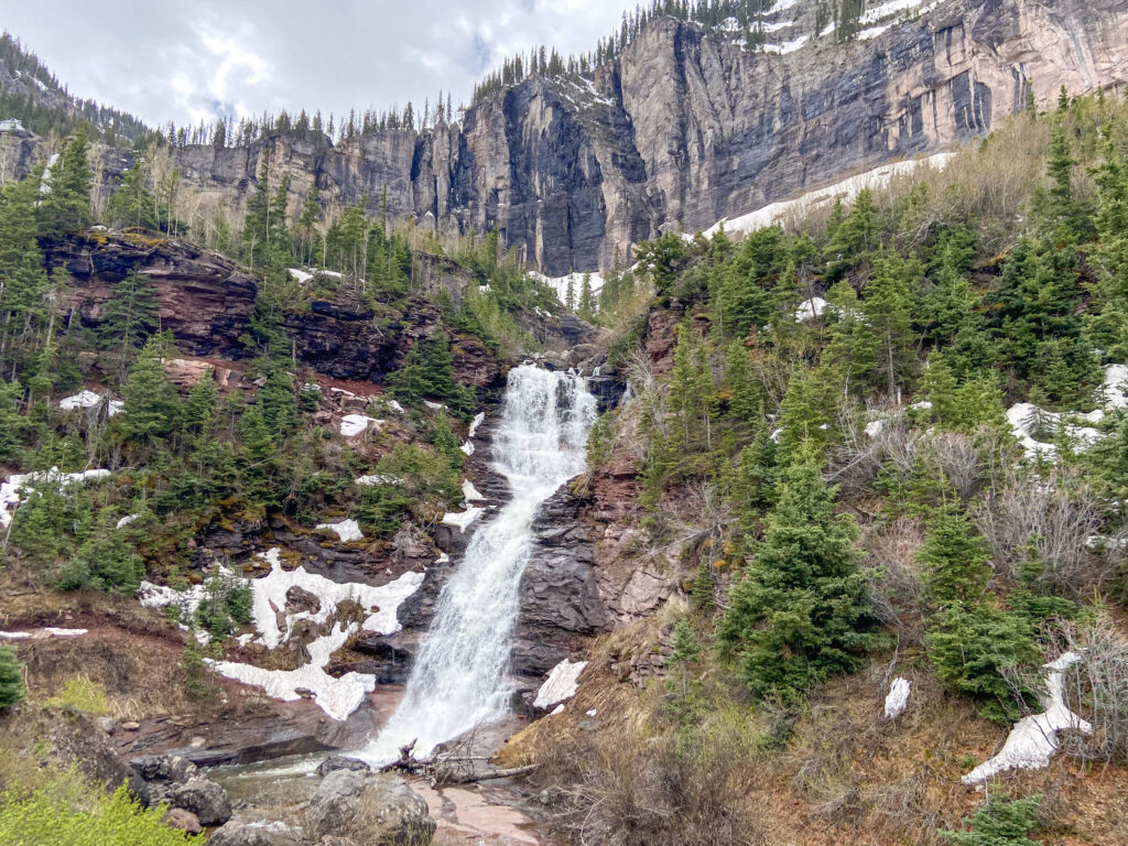
As you can see above, the early part of the trail crossed Ingram Creek on a neat little bridge. Then there was a nasty little climb out of the creek basin – made more difficult by the fact that the early-season trail wasn’t always easy to follow. There were downed trees just off-trail in spots, and you had to wind around giant boulders, which made for a slow, cautious going. After a few minutes, I could hear the sound of water on the right, which indicated that we’d climbed out of the Ingram Creek watershed and into the Bridal Veil Creek watershed. What I didn’t know is that there were two waterfalls on Bridal Veil Creek below the main falls. The first of those falls could be accessed via a short spur trail. The backdrop was stunning.
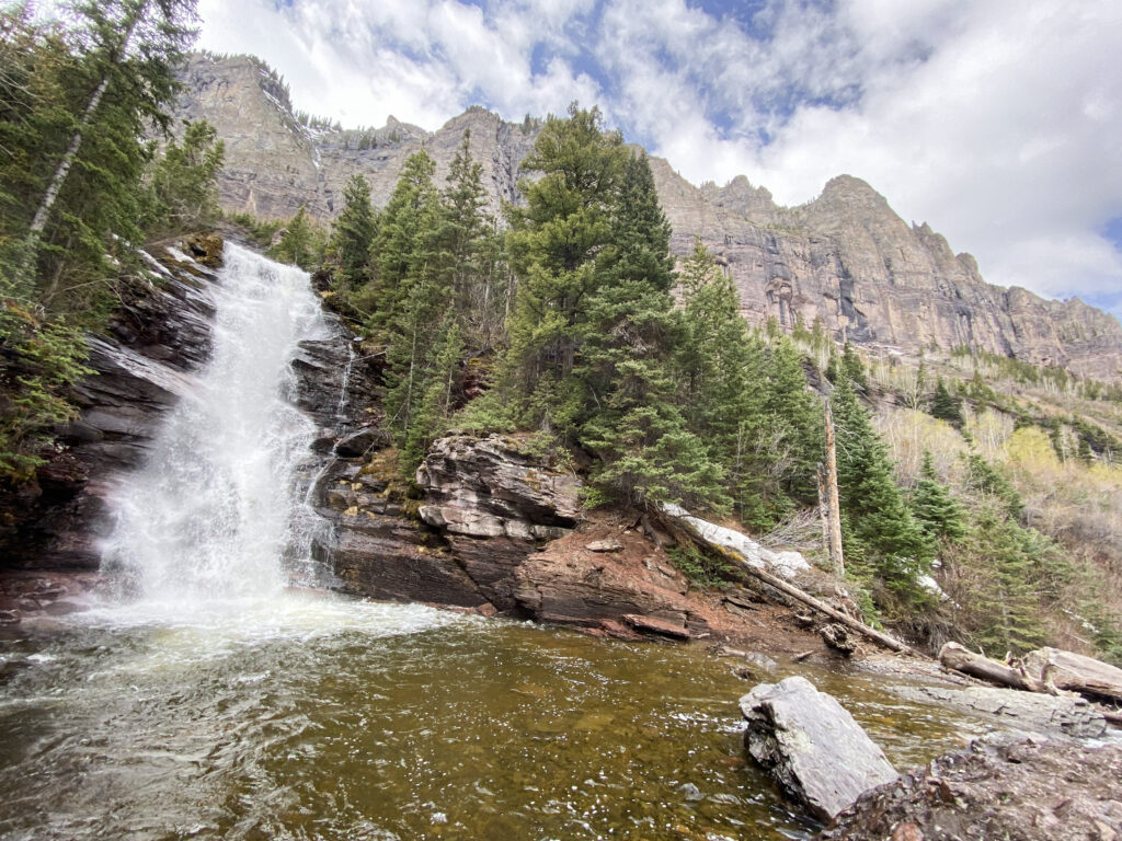
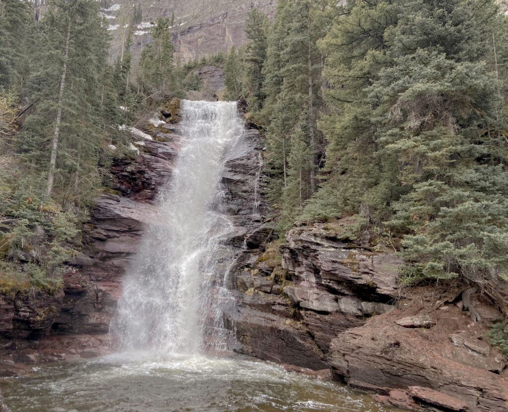
The waterfall itself wasn’t shabby, either. Please enjoy my attempt at muted-color editing:
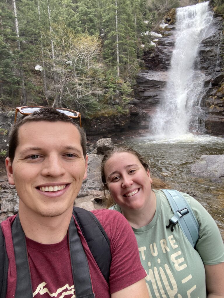
And please enjoy the happy couple on their first trip back to Colorado since they got married.
For an unplanned and unknown waterfall, this was a pretty awesome surprise.
The first waterfall marked about the halfway point in the trail. We got there a little after 10:00 – making half a mile’s worth of pace in a little under 30 minutes. Not the fastest hiking, but also this wasn’t an all-day trail. There wasn’t a need to rush.
The next waterfall was about 15 much more uphill minutes later. By now, despite the cool morning, I was sweating enough to welcome the spray of waterfall mist into my face. This waterfall was similar-looking but had a wide, flat rock that you could walk over to to get a nice vista of not only the waterfall, but the mountains behind it.
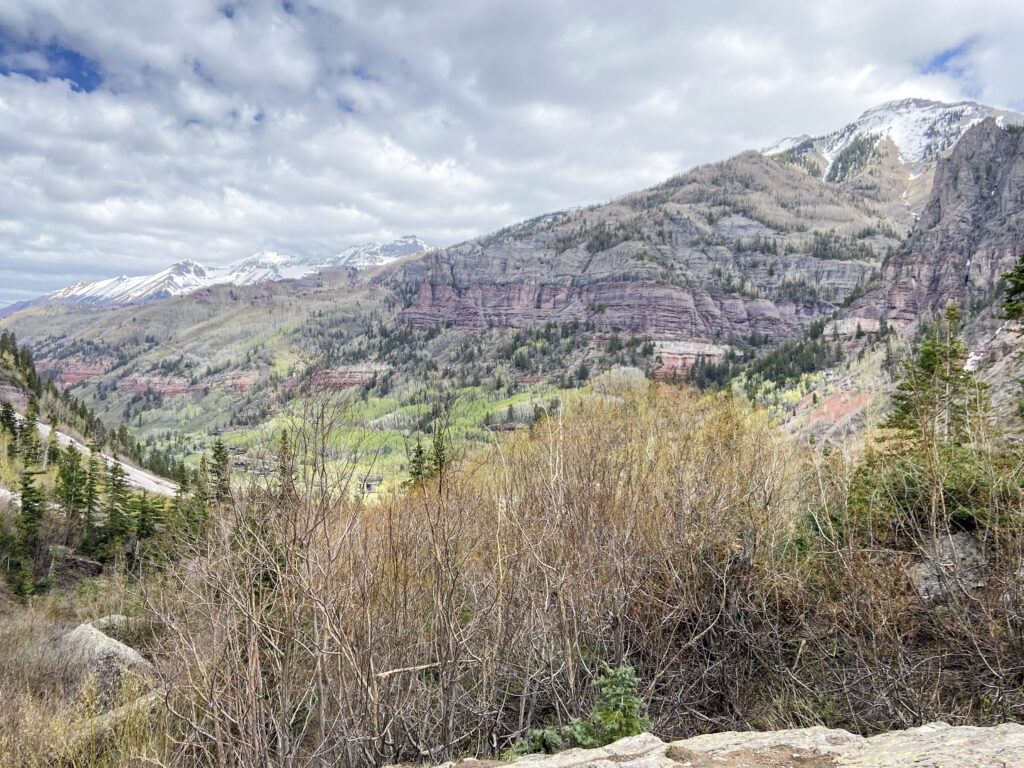
There was even enough prominence on the outcropping to turn around and look back down the valley toward Telluride.
Another hiking couple arrived right as I convinced Elizabeth that it was okay for me to plunge off of the outcropping and down to the banks of the creek itself. I can still hear her voice to this day, a classic mixture of exasperation and affection for my adventurousness, as she talked to them. But sometimes you have to get level with a waterfall to really appreciate the way it cascades across the landscape.
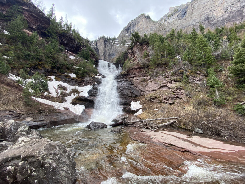
There’s something else noticeable in both pictures: snow. At the bottom of the trail, snow wasn’t much of an issue. But as we climbed further, the space between canyon walls began to shrink, meaning that the areas we were hiking through were exposed to less and less sunshine. That meant that up and around every corner, there was a little bit more snow to contend with, and it was eventually on the trail itself. Neither of us had prepared for a snow hike – the microspikes were very much left at home. Late-season snow is not easy to climb on. It takes on the rough consistency of slippery styrofoam. No footholds, big steps up, and the trail gets harder and harder to stay on without using a navigation app.
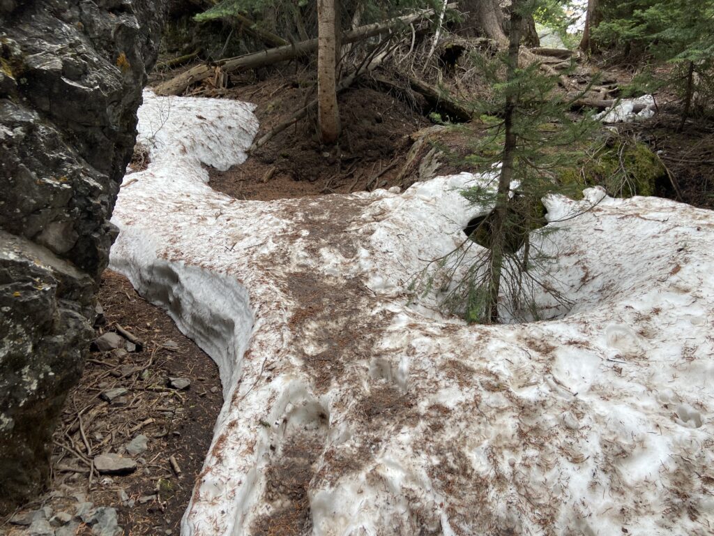
Some of the groups hiking up near us, of which there were now several, took to the snow a little better than others. Pound for pound though, nobody complained more than Elizabeth. Every corner was a new opportunity for her. I don’t know what I feared more: the damage done to Elizabeth if she fell, or the thermonuclear meltdown that would follow. So there was more than a little relief to be felt when the sound of pounding water increased directly ahead of us. Voila! Bridal Veil Falls!
If the waterfall wasn’t raging, then it was certainly roaring at the very least. Here at the base of the waterfall, the ground was squelchy from the 24/7 curtain of mist that hung out. The Black Bear Pass Summit Road winds its way up from Telluride, past the trailhead, and does intense switchbacks just west of the waterfall, and one of the switchbacks was here – it, too, was coated in mud. The water was not warm; unsurprising in late May in the mountains.
The waterfall was neat, but our angle at the end of the trail was all wrong for getting the best views.
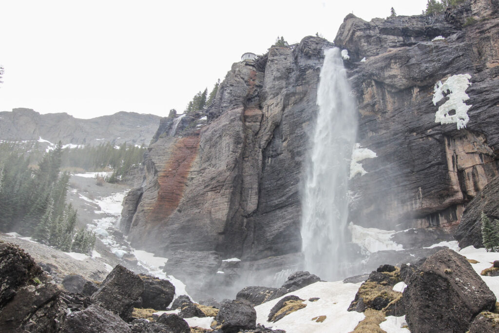
Elizabeth was more than willing to let well enough alone after our snowy adventures of the last 15 minutes, but I remained a man in pursuit of the perfect view and perfect camera shot. She sat down on a boulder by the creek while I slipped and slid my way uphill across the mud to get a more straight-on angle.
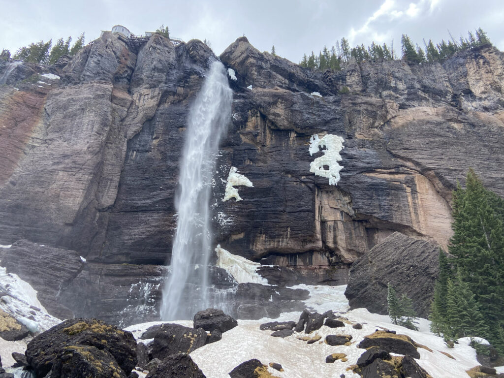
It was fascinating. Every few seconds, the pattern of mist rising up and to the left from the waterfall changed – like a never-ending fog machine. The sun occasionally broke through the thin cloud cover above, and when it did the mist was lit up in a way that I can only describe as angelic.
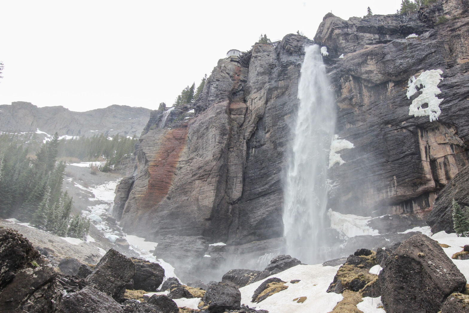
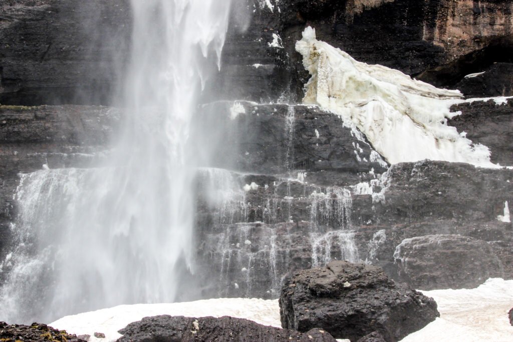
What really caught my eye as a Photography Connoisseur was the presence of ice. On Memorial Day weekend, this waterfall up at 10,000 feet had frozen some of the surrounding trees the night before. To me, that’s the real magic of nature.
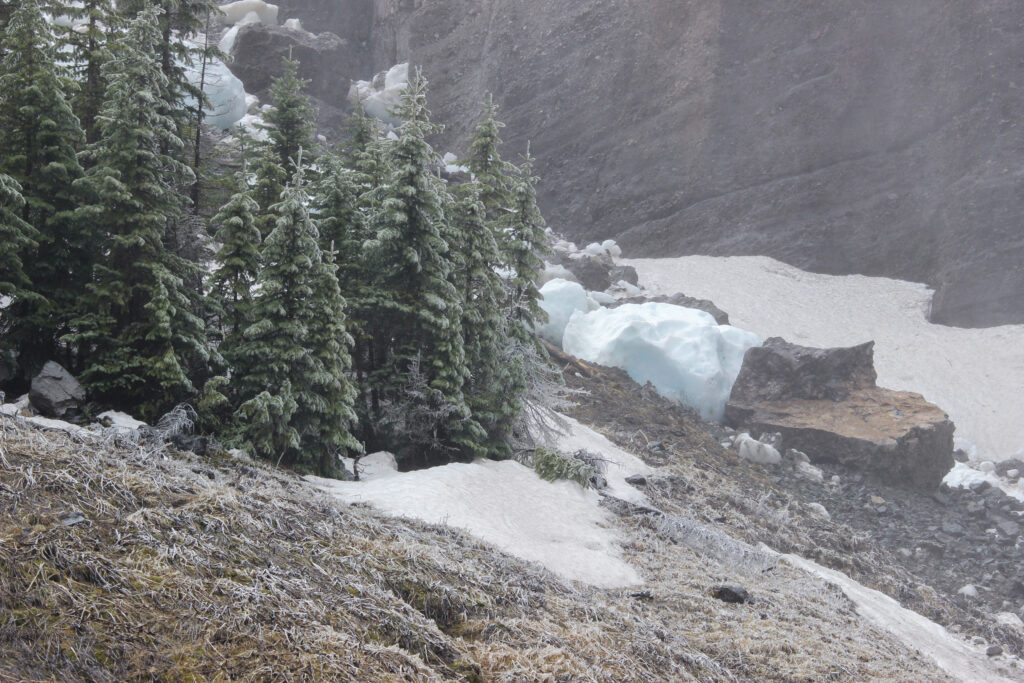
It wasn’t just the trees; the bottom of the waterfall itself was frozen.
I was a pretty happy guy a few minutes later when it was time to join Elizabeth for the walk back down the mountain. Like I said a moment ago, there’s a dirt road that cuts all the way up the canyon and beyond – the San Juans are some of the premiere Jeeping terrain in the world. Instead of fighting our way back down through blowdowns and murderous snowbanks, we made a good decision for our marriage and decided to follow the sunny road path instead. The views alone justified this choice.
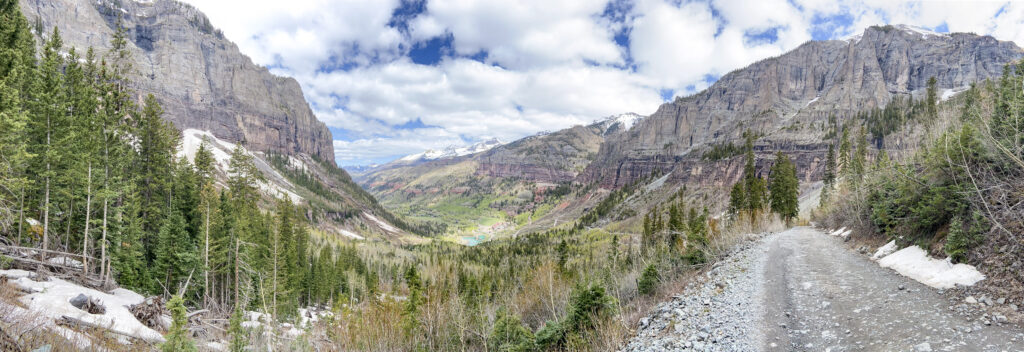
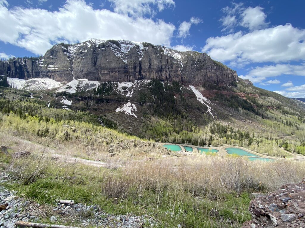
The fact that it was a road also meant that there was somebody who had a vested interest in getting the snow off of it. Even if that snow was still waist-deep on the side. Even if it was neck-deep!
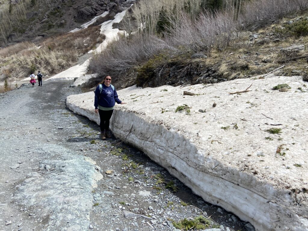
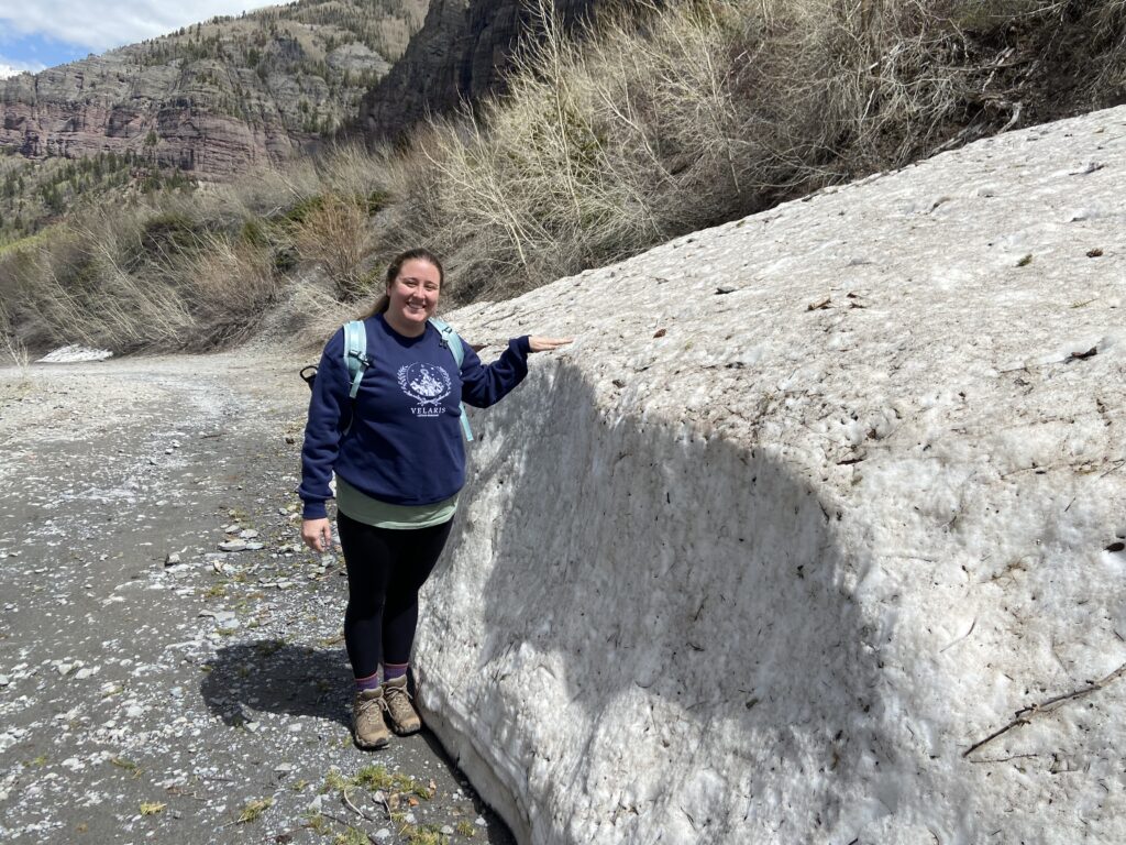
In fact, the only downside as far as I could tell was that the road path was much more favored by Mountainfilm attendees. I recognize that stereotyping people is bad, but when you get a group of people in their 20s all hiking together while discussing their dog’s organic diets and the lecture they just went to, it seems safe to judge the book by its cover. Fortunately they weren’t preventing anybody from enjoying the beautiful morning, the sunshine behind us, or the epic scenery. “Kind of annoying” is something you can take with a grain of salt.
The road back was actually more memorable than I would have expected. Usually a road is a much less enjoyable experience than a trail, but this one had some fun features. For example, there was a second waterfall tumbling off of the top of the box canyon down Ingram Creek.
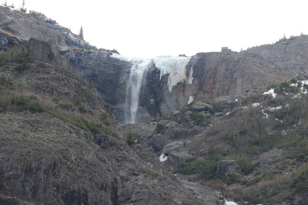
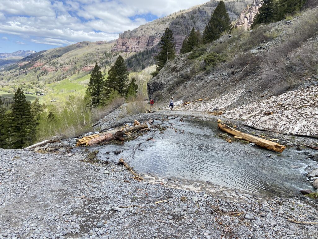
Ingram Creek itself flows right over the road, by the way. Who would bother putting a bridge in on a road that only exists for off-roading vehicles anyway? That meant that we got to ford the stream. It was cold and swift-running, but shallow enough above the road that you could walk across it without overtopping your boots. There was a dog with some other hikers that turned the crossing into a bit of an ordeal, but that’s just a dog thing.
Also unlike the trail leading up through the trees: the road had views of Bridal Veil Falls.
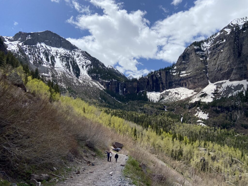
Getting back down toward the trailhead, there was one more hazard to navigate: vehicles going uphill on the road. All of them were moving slow, because the road condition was clearly treacherous at best. A good chunk of those vehicles were big 4-wheel drive machines which chewed up the dirt with aplomb. Elizabeth and I were amused to see the second group – clearly tourists who felt like they’d just drive their way up to the waterfall instead of walking. They were the ones who were realizing that their little rental cars were very much not built for the moment. Each switchback had one of these cars, usually in the process of bailing out to get back downhill. Nothing warms the soul more than watching tourists realize the fact that they’re being morons.
We got back down to the car right about noon, and the mood among the Meister family was now buoyant. The parking lot was much busier than it had been several hours before, but that was fine. We were headed to downtown Telluride for lunch and a gondola ride.
