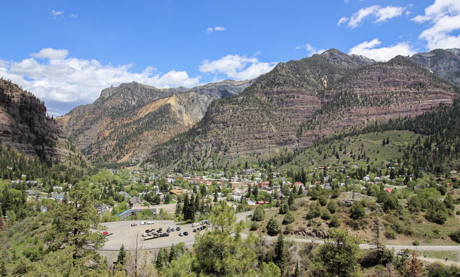
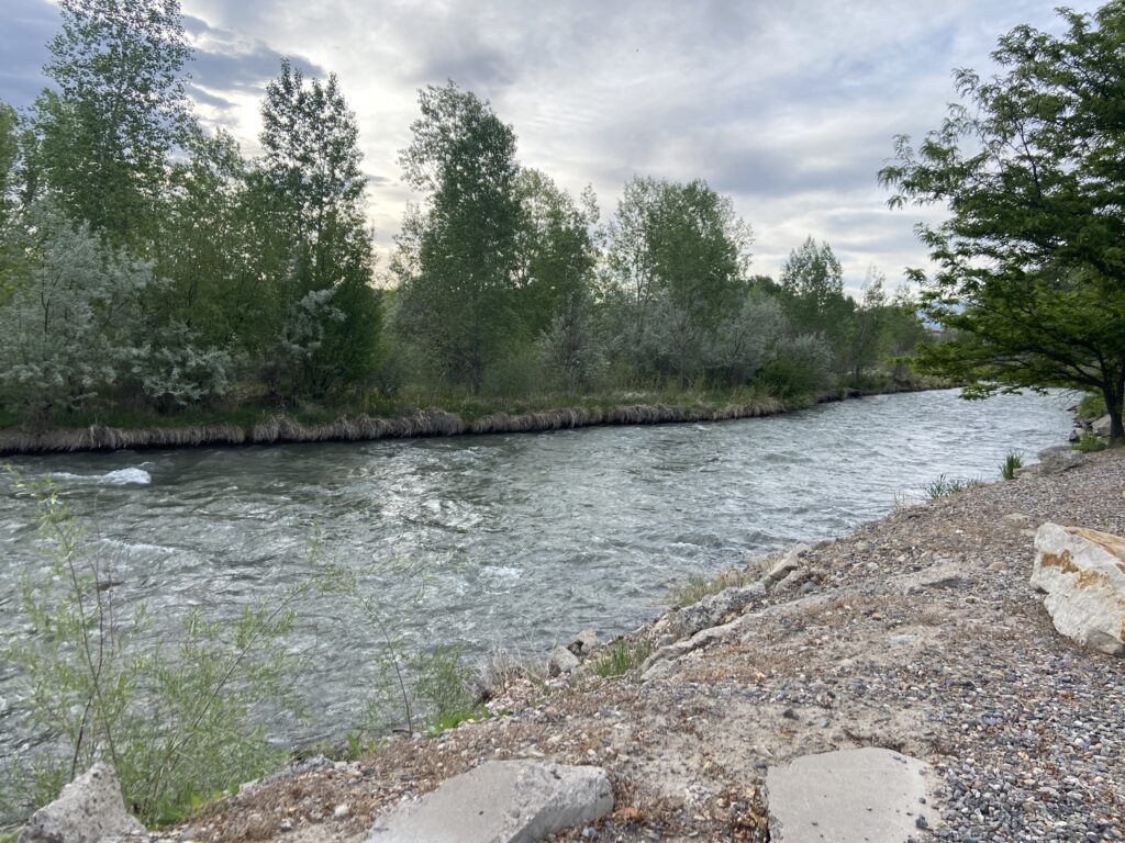
May 25, 2024 dawned beautifully in Montrose. I don’t think I could have asked for anything better – there was a mix of clouds and sun, the temperature must have been right around 50, and on the far side of the RV park, the Uncompaghre River was roaring with fresh snowmelt.
The whole world was almost perfect! Except for one little thing back in Oklahoma:
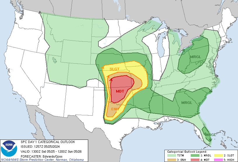
Poor Scipio was back in Oklahoma with a risk for significant tornadoes while Elizabeth and I gallivanted around southwest Colorado. It was almost enough to make me feel sympathy for him. Fortunately, Scipio has some friends in high places, one of whom was willing to pick him up from daycare to keep an eye on him:
That left me, at least, totally free in the conscience to enjoy the day. Which was good, because May 25, 2024 was probably a top 10 day of the year.
And do you know how top 10 days of the year start? They start with breakfast burritos. And they ESPECIALLY start with breakfast burritos from a drive-thru stand in Montrose entitled Sunrise Burritos. We picked those up and an iced latte from Starbucks for Elizabeth. I wanted to eat somewhere with a view of the mountains, so we started driving southward toward the San Juans. As I figured it, the worst that could happen was that we ended up driving for 20 minutes, didn’t get a good pull-off with a view, and then our foil-wrapped burritos would still be hot.
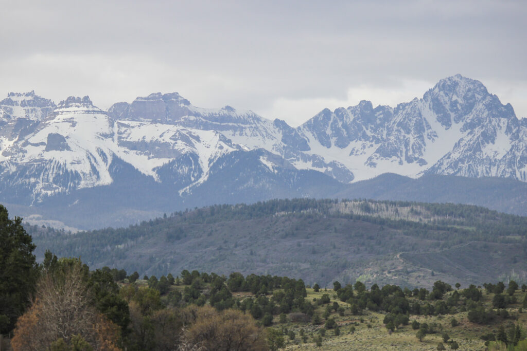
That’s almost what ended up happening. There’s a series of buttes and ridges just north of Ridgway (oh, that’s where the name comes from) that blocks your view of the mountains. For a while, the snow-capped peaks disappeared from sight. I was just getting ready to tell Elizabeth that we could just stop and eat somewhere from inside of Ridgway when Apple Maps showed a pull-off on our side of the road. Where there’s a pull-off there’s a view. Lo and behold:
We were off to a great start.
The San Juans had seemed really far away from Montrose, but Ridgway was pretty much right on the doorstep. It felt like you could reach out and touch the snow-capped massif just beyond town, which really only like 15 miles away.
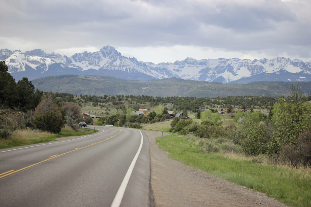
The crown jewel was off to the left of the above image, and included the famed peak Mount Sneffels.
And most exciting of all? Once we’d finished our delicious, greasy breakfast, the road was going to fork in Ridgway. The right fork we would take tomorrow to go all the way around Sneffels. The left fork takes you directly into Ouray in the heart of the San Juans.
I took us southbound on US-550 as the terrain began to narrow around us. Farmland gave way to a reddish-tinted canyon, and the Uncompaghre hugged closer to the road with every curve. After about a half hour, the speed limit on the highway dropped dramatically and lodges began to spring up on the side of the road. Welcome to Ouray, Colorado.
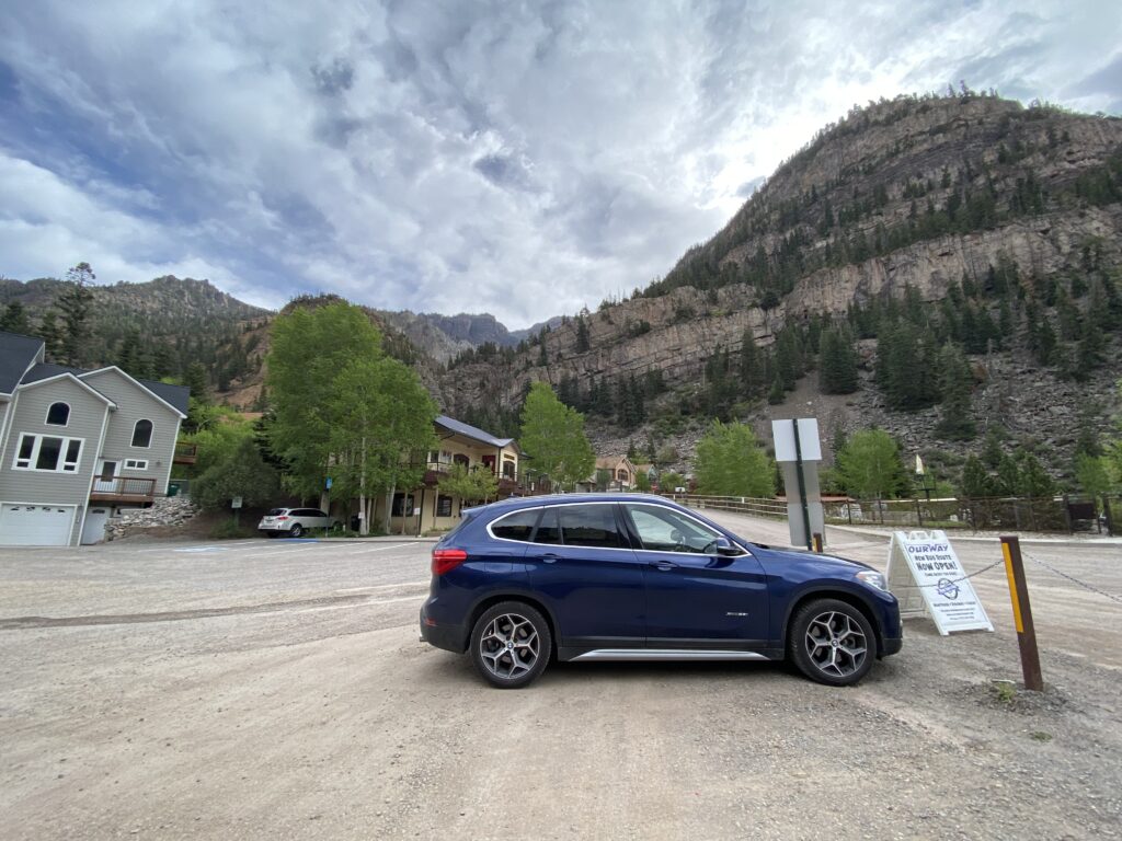
In typical Meister fashion, Elizabeth and I first familiarized ourselves with Ouray by paying a stop to the visitor’s center. The lady at the front desk was eager to help, and only seemed a little put out by the fact that I’d already done my research about the area and knew all of her suggestions. For my part, the visitor’s center was equipped with the ever-hard-to-find souvenir pins that I collect, so everyone came away from the encounter happy. What was more, the visitor’s center actually made for one stop on the circumnavigational Ouray Perimeter Trail, which was our primary attraction for the morning.
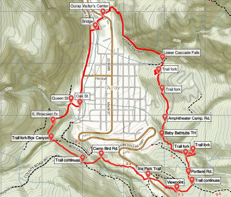
The Ouray Perimeter Trail makes a little loop around the town (the above map also doesn’t account for a loop south off of the Ice Park Loop that hooks back up with what it shows near Box Canyon). AllTrails puts it at about 5.5 miles and 1,500 feet of elevation gain, though by the end of it the two of us were swearing it must have been more. We planned to start from the Ouray Visitor’s Center at about 9:30 local time, hike clockwise and finish the trail in time for a late lunch.
Almost immediately, I was struck by how steep and exposed this was for a municipal trail. It was pretty much straight up from the visitor’s center to begin the trail.
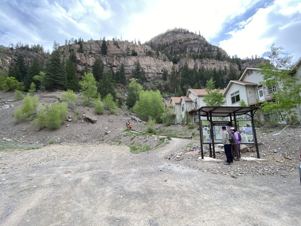
And a lot of that early trail, in addition to being switchback-heavy, was pretty exposed on the right side. I noticed that tangentially while trying to take it one step at a time and also not accidentally get too far ahead of Elizabeth. Hopefully people said to hike the trail clockwise for that exact reason, and we’d avoid any major issues on the way back down.
Within minutes, the two of us had ascended up above the northern (lower) end of the town of Ouray.
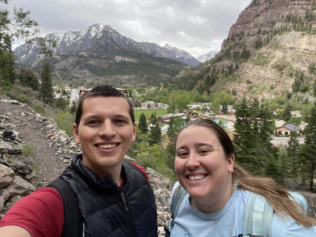
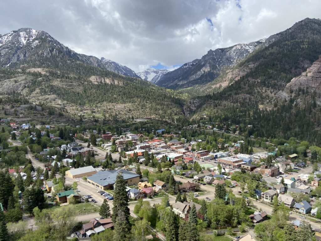
Now, while the imaginary Nolan and Elizabeth are still picking their way up the big hill to the first major draw on the hike, is a good time for us to discuss Ouray. It was a longtime bucket-list town for me to visit. Labelled as the “Switzerland of North America”, Ouray certainly doesn’t market itself in a humble fashion. But given where it is, nestled in a valley between some of the most prominent of the San Juans, it’s hard to be too offended at them. The town lays at the lower end of a road called “The Million Dollar Highway”, which heads up toward Silverton through the heart of Colorado mine country. Ouray is a big-time tourist draw, especially on a weekend like Memorial Day. This hike around town would give us a lot of looks at the natural features, and then we could spend the afternoon exploring via car.
Alright, I think we’ve given imaginary Nolan and Elizabeth enough time. They’ve even had the chance to talk to a Forest Service Ranger. And now, 3/4 of a mile into the hike, was the first stop: Cascade Falls.
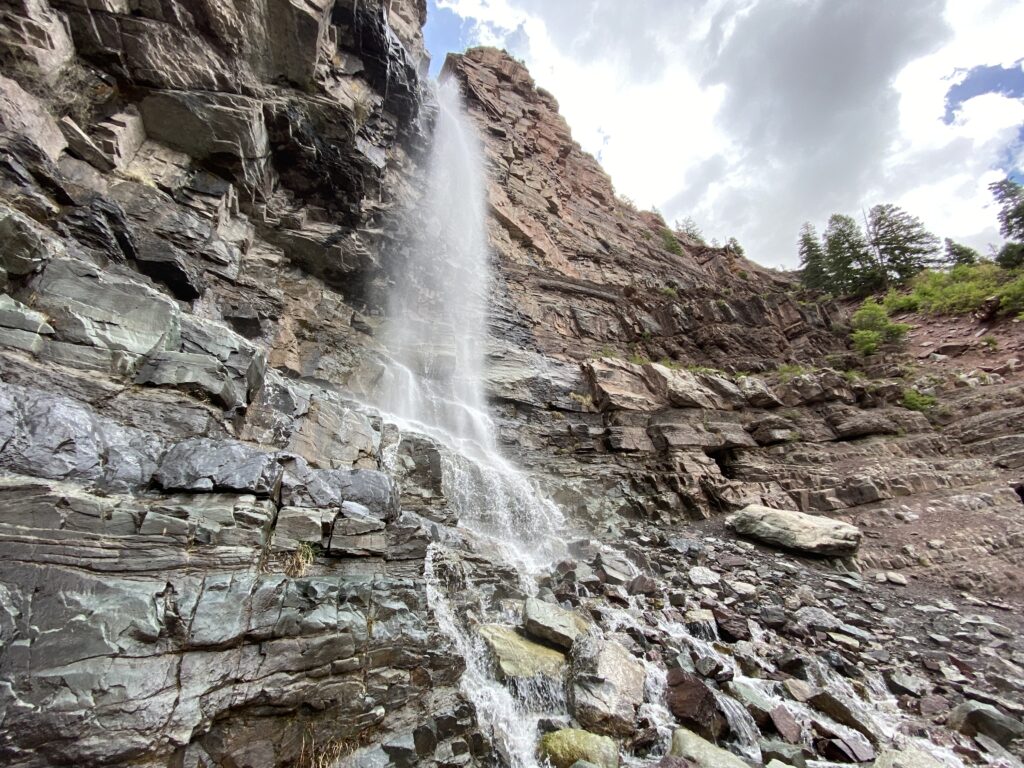
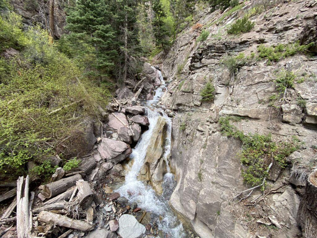
Despite having one of the most unimaginative names a waterfall can have, Cascade Falls is a major tourist draw in Ouray. The waterfall is the last of several along Cascade Creek before it tumbles into the town to meet up with the Uncompaghre a few hundred yards away. The waterfall itself is narrow, with the creek appearing to tumble out of a narrow box canyon before whacking into several ledges and atomizing into a glorious mist near the bottom. From there, the creek takes its time to form into one coherent unit again, instead choosing to Plinko around the hundreds of rocks that sit at the foot of the fall before consolidating below that. The color was all wrong for this comparison – like much of the Ouray region of the San Juans, the rocks around Cascade Falls were vaguely reddish in nature – but the nature of the waterfall really reminded me of Iceland.
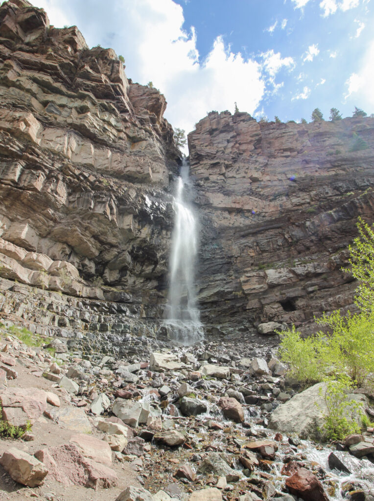
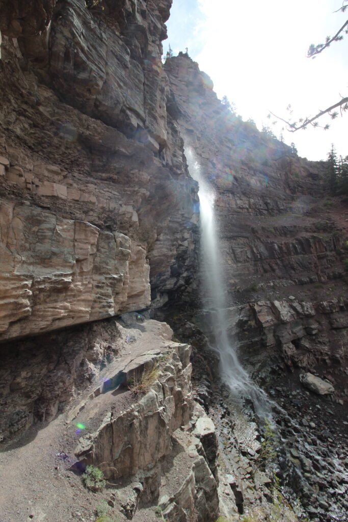
Really, it was my kind of waterfall – the kind that you could wander as close to as you wanted, even if it was a chilly morning and the spray was so cold that another hiker was appalled by my proximity to it.
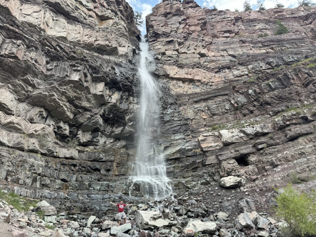
But honestly, there’s something really neat about being close to that much power in nature. Also, I think that picture does a good job of showing just how tall Cascade Falls actually is, because the zoomed out pictures aren’t doing its height any justice.
Unsurprisingly, this spot – with a parking lot basically just at the bottom of the hill – was already overrun with holiday tourists, even by 10:15 am. However, the trail itself was actually quite manageable – Elizabeth and I only encountered a few people trying to zip past us going the same way, and an even smaller number of counterclockwise hikers. The herd especially thinned back out just south of the Cascade Falls spur, where the Perimeter Trail made a grinding uphill switchback to gain a ridge. Now it wasn’t just the north end of town – we could see all of Ouray laid out below us.
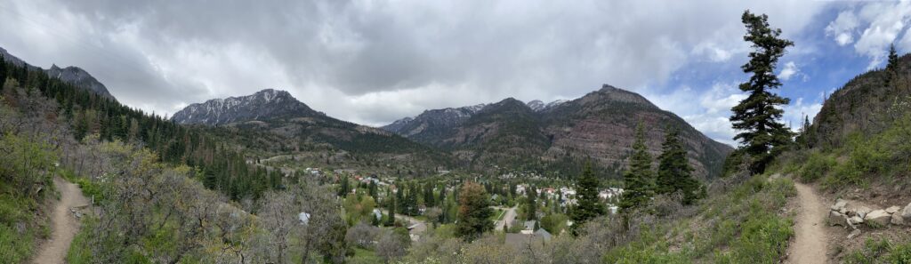
This panorama actually tells you a lot of where we were headed next – first along the eastern edge of town on the trail (bottom left), then up another steep, griding ascent that would eventually leave us atop the near ridge in the center left just beyond the road, and then over toward the canyon on the far side of town on the center right. Stay tuned – imaginary Nolan and Elizabeth are working there way in that direction, and spirits are – something!
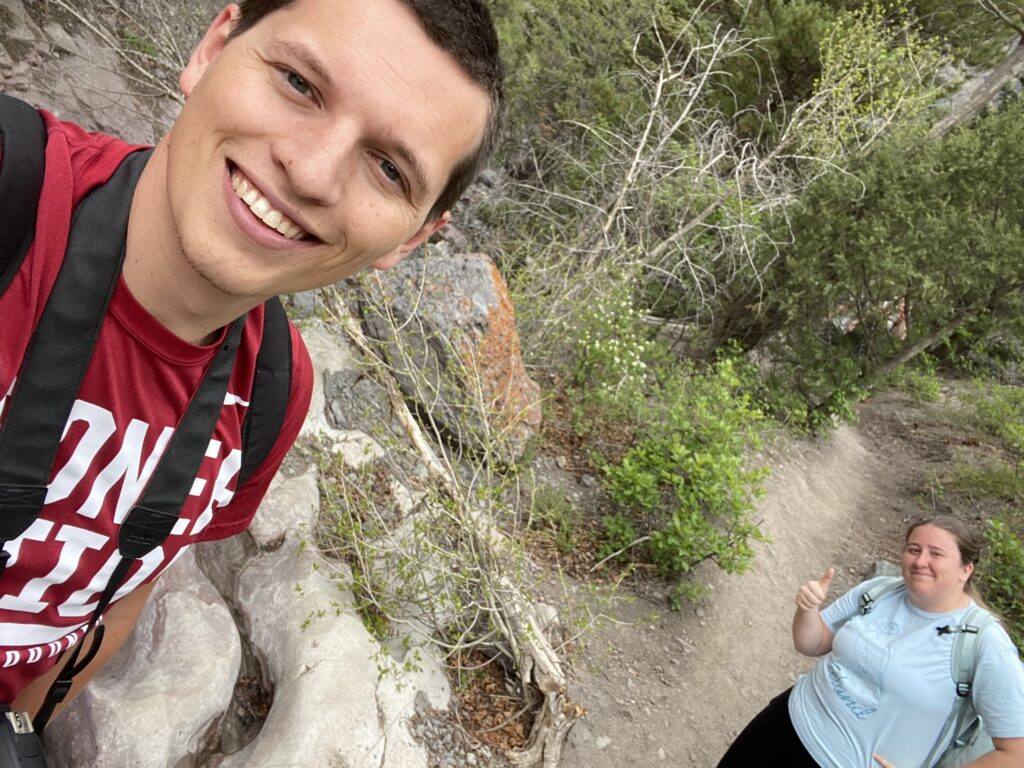
The next attraction was the Baby Bathtubs area. To get there, we had to hike southward along the trail until it intersected with Amphitheater Campground Road, then make a short road walk to where the Baby Bathtubs Trailhead peels off. By now, we’d become familiar with the sight of the other three or so groups who were hiking at roughly the same speed as us. I was also taken aback to see that we’d already hiked basically to the far side of town.
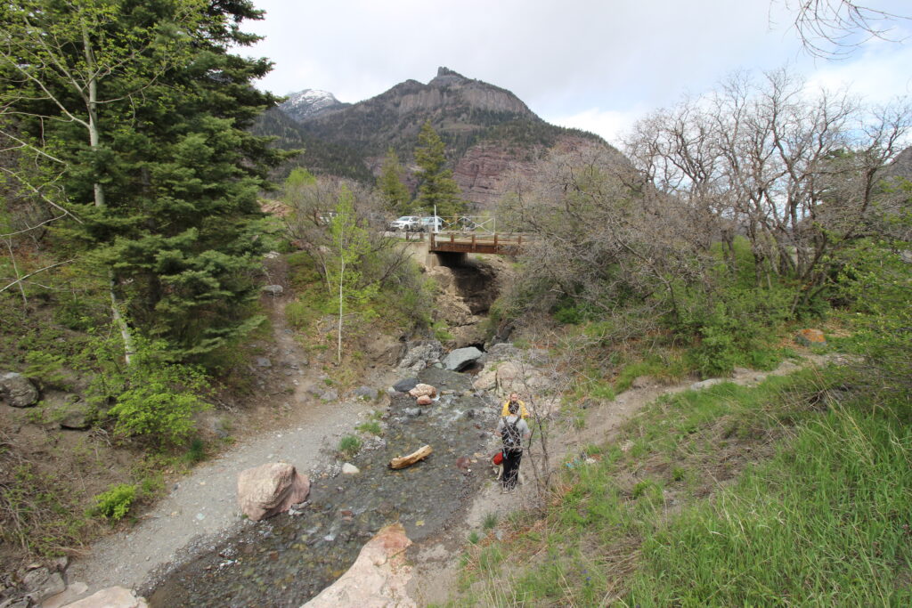
The Baby Bathtubs came and went without a whole lot of fanfare. In fact, I kept waiting for the real Baby Bathtubs to show up, only to be informed by Elizabeth that they had already come and gone. The whole gist of the area is that Portland Creek comes tumbling down out of the mountains, and as it approaches the town of Ouray it passes through a series of chutes and pools that I guess look like places you could bathe a baby. Maybe the name works better when it’s not peak snowmelt season, because when I have a child they aren’t going into anything that looks like this.
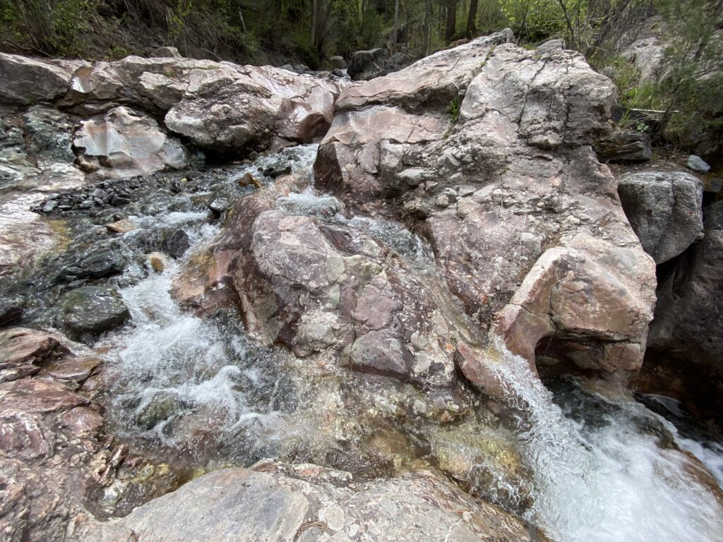
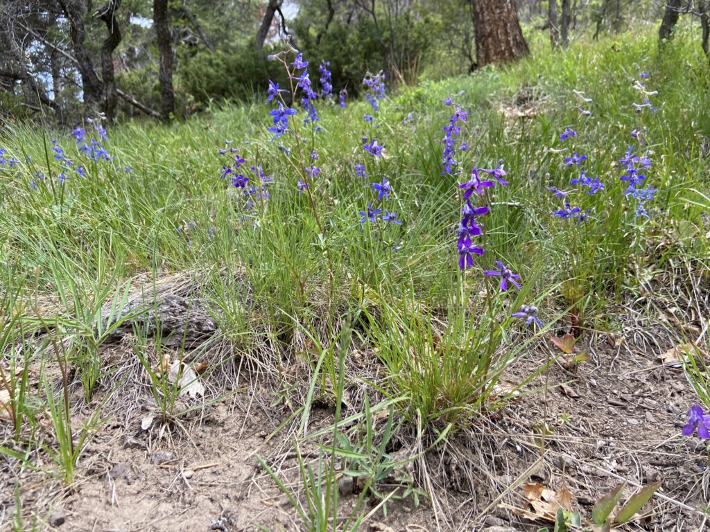
In spite of that miffing disappointment, this ended up being one of my favorite sections of trail. Given how far it was from the center of town (relatively speaking), it was uncrowded, which allowed the two of us to enjoy ourselves. Each curve brought us along a pristine stretch of mountain creek. The sun was occasionally poking through, and the weight of a camera bag on my bag meant that it even felt nice to step down to the creek and splash some water on my face. Occasional clearings brought wildflowers in bloom:
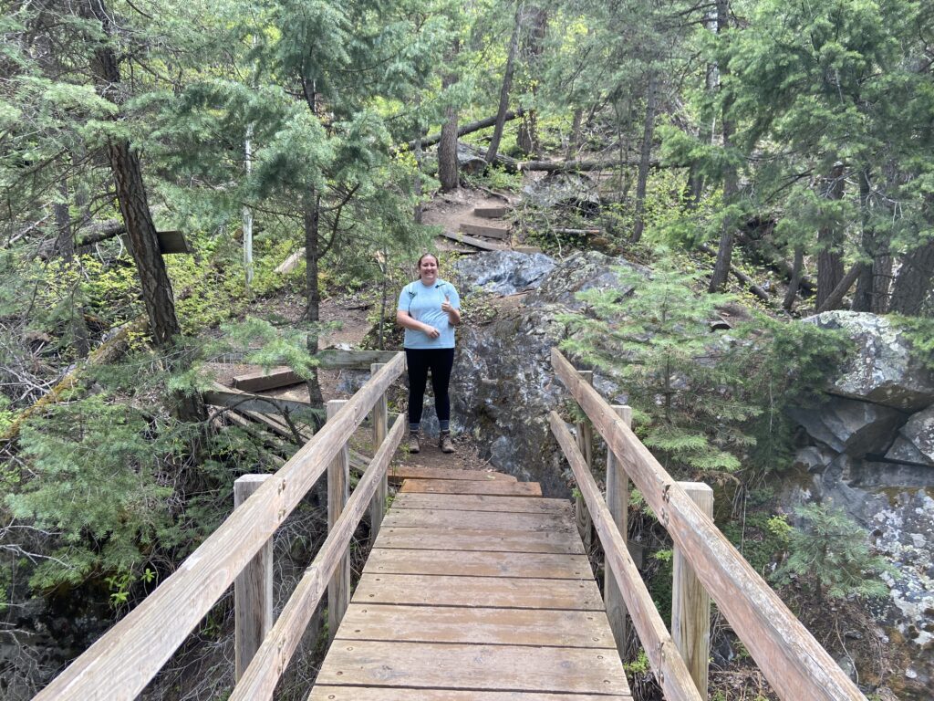
And there were even some bridges across the creek. Bridges always make a hike more fun.
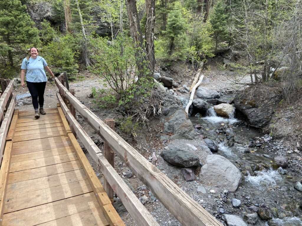
It was 11:00 – we’d been on the trail for an hour and a half, and had already made this much progress.
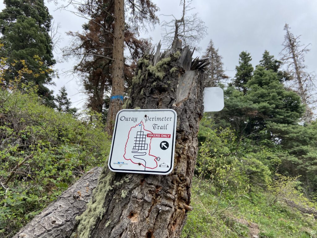
On that kind of pace, we’d be set to finish the trail around 1:00 and get lunch. Also – quick shoutout to the city of Ouray for the medieval font on the trail signs. It was a completely random but fun touch.
After doubling back along the creek briefly, the trail plunged further south toward its highest overall elevation. This was one of the tougher ascents of the day – I found myself feeling grateful that thicker clouds seemed to be building in over the mountains to the west, because climbing this hill in sunshine would have been a killer. Along with one other couple that was roughly our age, Elizabeth and I buckled down as the trail intersected and overtook a dirt road. We were exiting the developed part of Ouray and entering San Juan mining country, as one particular shack was able to indicate.
Once we hit the right turn and began the westward bearing up toward the trail’s highest point, the terrain opened up quite a bit. The last mile or so had all been heavily forested, but here we were in mixed forests or at times outright meadows.
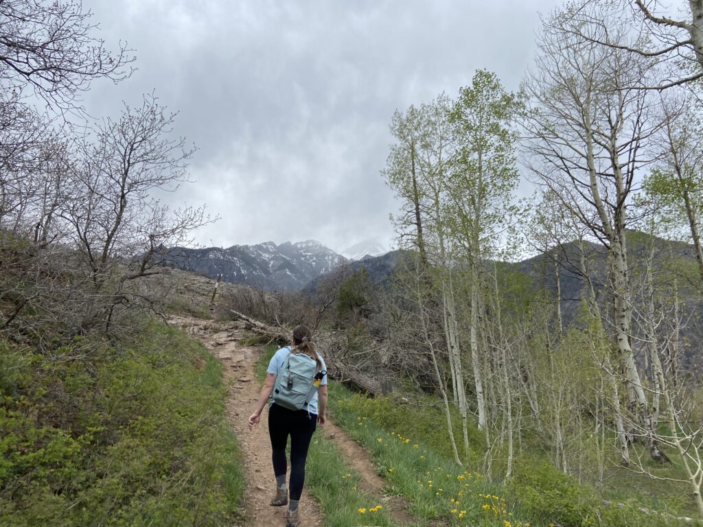
The downside of that was the sky had continued to darken, and we could see sheets of rain or snow falling in the mountains to our west. There wasn’t any thunder – and the Forest Service ranger said there wouldn’t be any – but the two of us were still eager to get off of the exposed ridge before the wind and rain began to pick up.
With that said, the view from the high point on the trail was nice. You couldn’t see the town anymore, sheltered as it was by the ridge that the Million Dollar Highway switchbacks down. But the view of the beginning of the highway and its surrounding mountains was worth the price of admission.
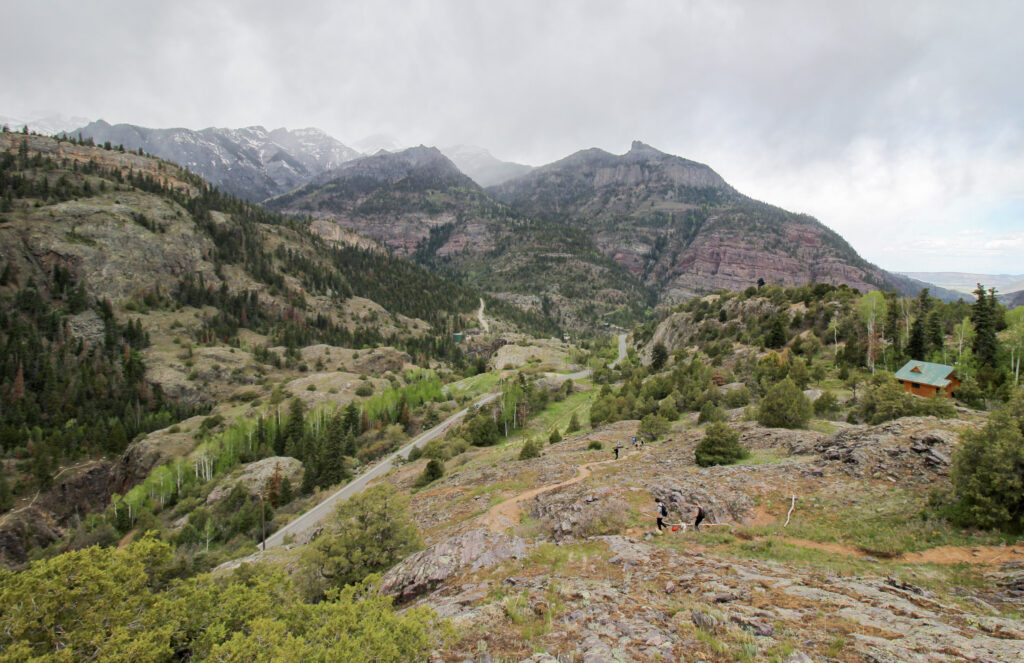
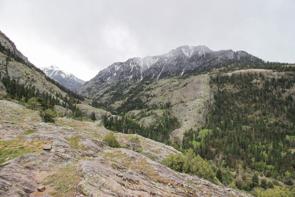
Still a little too red to be the Switzerland of North America, but I appreciated the effort.
A cold, blustery rain started to fall in fits and spurts as the two of us hustled down the other side of the big saddle and approached the Million Dollar Highway. In a way, it was really just liquid encouragement to keep us moving along. So, too, was the sight of the Million Dollar Highway – the sooner we finished the hike, the sooner we would get to drive it. We scurried across the highway in between cars. Take a look at those clouds up the valley!
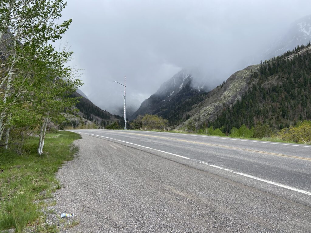
A series of events occurred on the back half of the trail that made for a somewhat stressful finish. It started with my insistence on following the AllTrails route instead of the posted signage after we crossed the Million Dollar Highway. If we’d followed the signs, it would have been a relatively short jump to the west-northwest towards Box Canyon. Instead, we forked left and headed south along the Ice Park Loop. To be honest, at the time I think we both would have done the same thing even had we realized there was a shortcut available. The Ouray Ice Park is a world-renowned venue for ice climbing, and this loop had drawn some rave reviews. Unfortunately for us, those threatening clouds broke right as we started heading south. A gross, cold, windy drizzle began falling – enough so that I actually fished my puffy vest from the camera bag. Foot traffic also diminished considerably almost immediately after the fork. For better or for worse, the little piggies were not tacking on to their hikes.
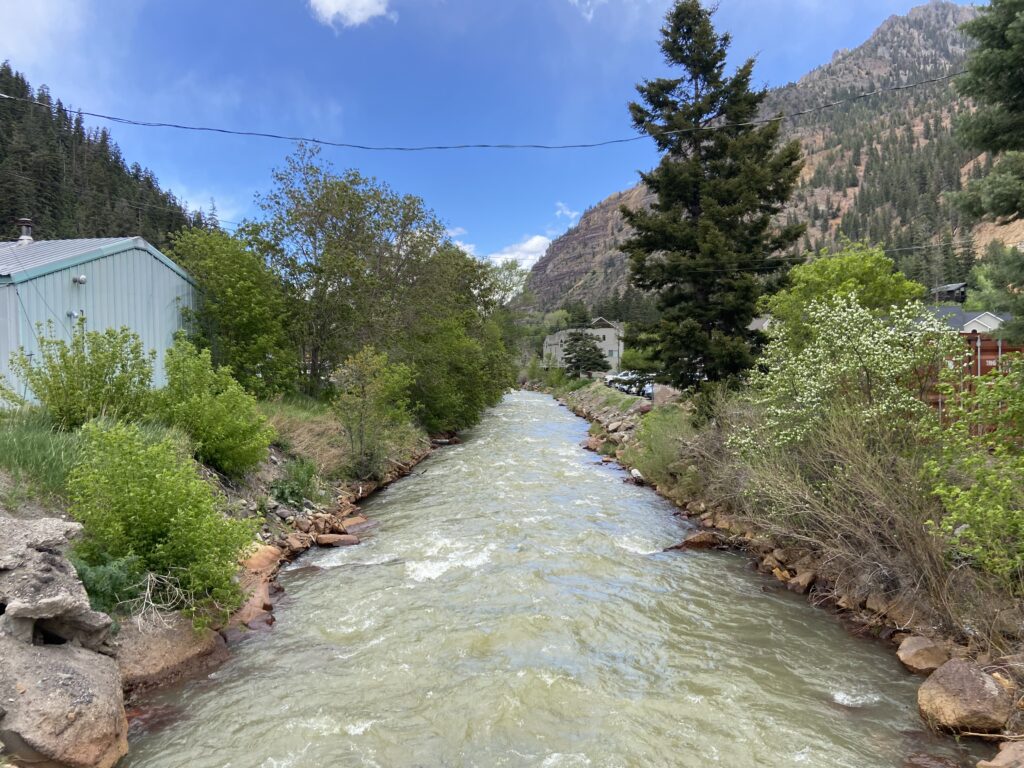
The trail continued to follow the path of an old two-track southward for a while. A mixed/aspen-heavy forest grew on either side of the path. Before long, the trail was veering down toward the Uncompaghre. The sound of roaring water reached our ears long before the sight of the river. The bridge to cross the river was a little sketchy-looking, but it bore our weight one at a time with no trouble.
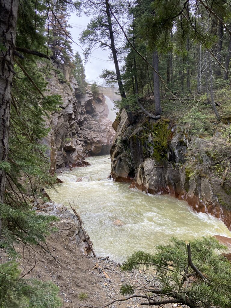
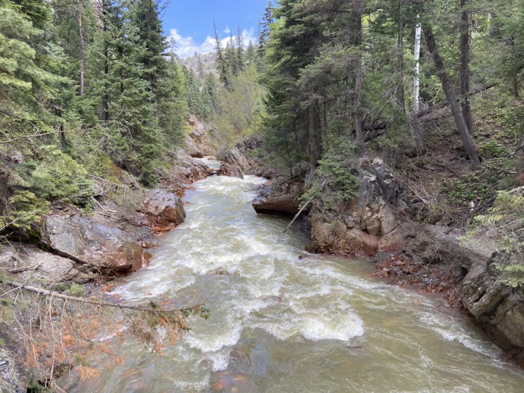
As suddenly as the foul weather had blown in, the clouds raced away just as fast. Now it was sunny and perfect. This section of trail had no exposure, a roaring river cutting out an ever-deeper canyon, and little foot traffic. This might have been the best 20-30 minutes of our entire day in Ouray.
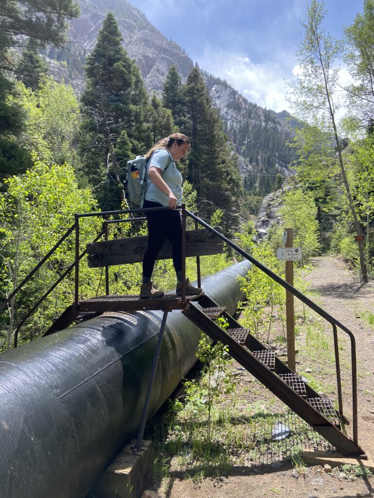
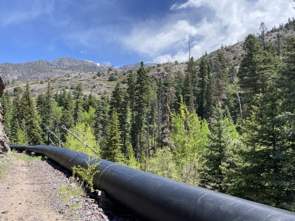
If you look closely at the picture in the tweet above, you’ll see a ropes course crossing the river. This is what’s known as a Via Ferrata, which is apparently European for “adventure course in the mountains that costs way too much money”. Over the next half mile or so, Elizabeth and I passed several groups of people hiking out to the start of the Via Ferrata. There was an overhang rock wall leaning over the gorge in addition to the high ropes course. It looked more terrifying than fun – and I’m a rock climber. Hopefully the little piggies enjoyed their Ferrata, though.
Elizabeth and I picked up the actual Ouray Perimeter Trail again just short of Camp Bird Road. The elevation profile had been fairly tame down by the river, but as we moved northwest and pulled away from it, the elevation change came back with a vengeance. So did other hikers – this was easily the most crowded stretch of trail we hiked all day. That’s understandable given the nearby presence of Box Canyon. On top of that, the views of Ouray and the surrounding mountains were probably at their best right here.
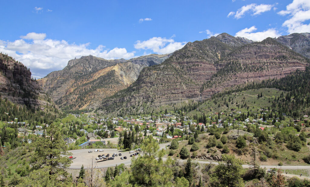
There’s no word other than “glorious”. You can even see how far we’d come if you look at the red mountain in the right foreground. That little waterfall near its base is Cascade Falls.
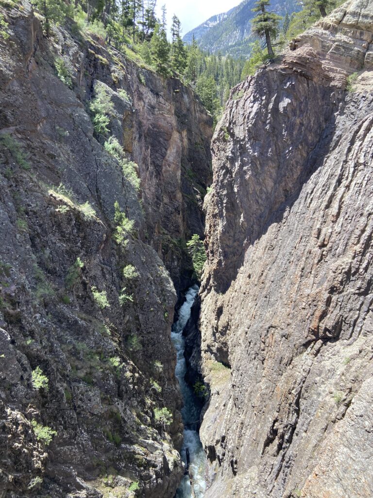
We’d finally swung all the way around to the southwest part of town, where the Ouray Perimeter Trail intersects Box Canyon Park. I won’t go too deeply into Box Canyon within this particular post, but the Perimeter Trail takes a high line parallel to Box Canyon Road and then crosses over Canyon Creek on the 200-foot tall High Bridge. Having no desire to walk 200 feet down to the bottom and then walk all the way back up, we decided to trek straight across the bridge and revisit later in the day.
As a lover of bridges, this one was a doozy. 200 feet above the water below! That’s a long way down! The bridge was also grated, which meant you could look directly down and see the creek roaring through the canyon below. Super cool if you’re me, and super terrifying if you’re one of the several dogs who people were trying to coax across the bridge at the same time as us.
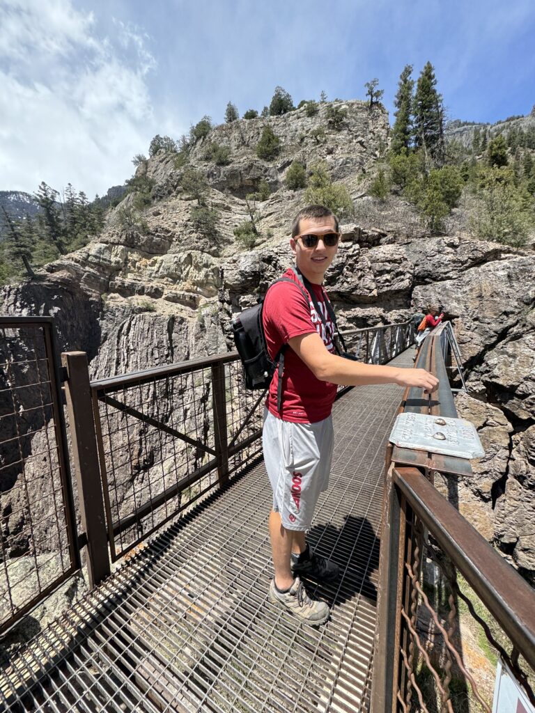
And the view overlooking town was not to be missed, either.
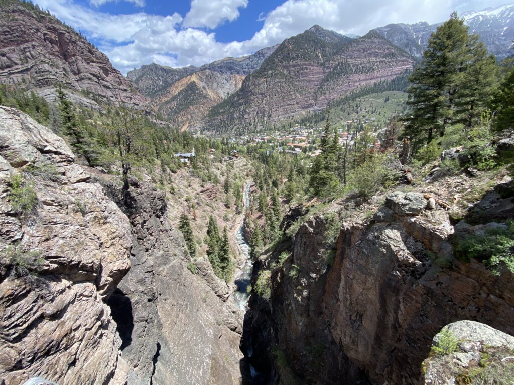
Yeah, definitely a good choice not to hike all the way down to the creek.
Immediately after crossing the canyon, the trail drilled straight through the side of a mountain in a TUNNEL. Now Ouray was giving me everything.
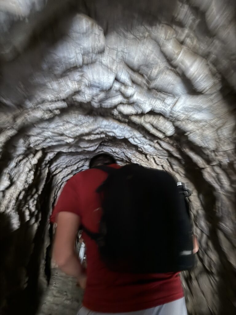
And then we had a nice staircase descent. I remembered that long afterwards, because it was NOT an adequate warning for what was to come over the final mile or so.
This was definitely the most crowded portion of trail, too. I’m not sure if people were just doing a short loop out to Box Canyon and back or what, but there were little piggies in their Lululemon joggers everywhere. At least they got to suffer the same long, uphill road walk that we did right after Box Canyon. It was “only” 300 feet over about a half a mile, but you can extrapolate that out and realize that that’s a pretty grinding stretch. Elizabeth’s nerves began to fray at last. I kept telling her that we were only a mile from the Visitor’s Center. We hit the top of the climb and I remember thinking, “Well, as long as the exposure isn’t too bad in the last stretch, this should be a nice and easy descent into town”.
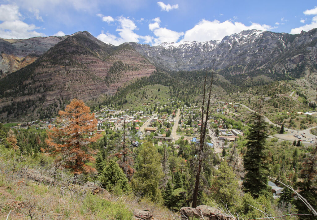
Yeah… about that.
The trail descends about 600 feet in the last mile to get back down to town – and most of that occurs after a steep little down-and-up to cross a tumbling creek (there was a lady playing with two dogs off-leash beneath the bridge. I enjoyed watching them and resolutely did not think about Scipio back in the severe risk). Elizabeth immediately began to slow way down. She was definitely feeling the lack of hiking poles on the narrow, slippery gravel.
The last three quarters of a mile are perhaps best left mostly un-talked-about. The trail was incredibly narrow at spots with a steep drop-off on the right side. We went through multiple breakdowns and shed many tears, but eventually the two of us did return to solid ground. I just asked Elizabeth for comment and she said “I hated it”. But at least it was only 45 minutes of torture.
Finally we reached the bottom, each slightly emotionally exhausted.
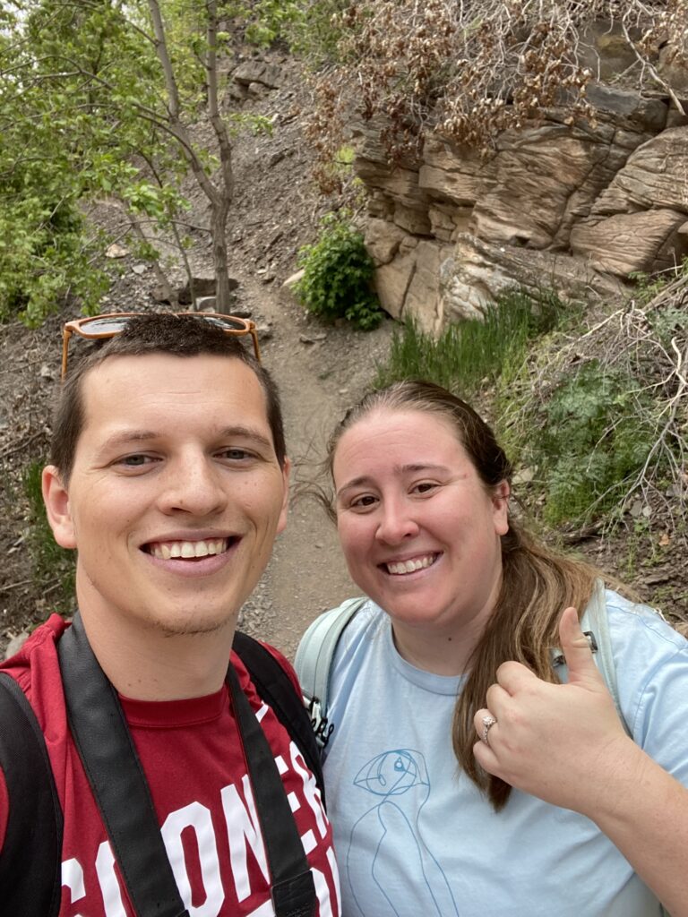
It was also close to 2:00, which meant we were both starving. I hate when you have a hike that starts off so dang well and then the final mile or two really just kills the vibe. We’re able to laugh about it now, but the stupid optimist in me always hopes the full day will be absolutely perfect. For that reason, I give the entire Perimeter Trail experience only a B. The first few hours, though, were probably among my favorite mornings of all of 2024.
And the nice thing about a Nolan and Elizabeth vacation is there’s always a chance to flush a bad memory. The day was far from over, and after a quick lunch we were going to go for a really fun drive.
