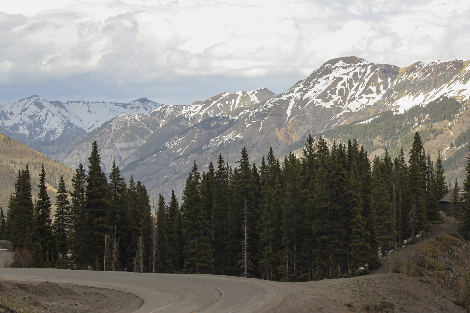
Tornadic supercells capable of dangerous tornadoes and extreme hail are expected to develop from northwest Texas into much of southwest and southern Oklahoma through evening.
Those are sobering words that you don’t want to read as an Oklahoma resident. And so I didn’t!
It was May 25, 2024, a day right at the back end of Oklahoma’s peak severe weather season. We were a little battered and bruised from the long storm season that 2024 had been and I didn’t really want to think about our home getting wrecked by giant hail. The good news was that I didn’t have to – Elizabeth and I were in Ouray, Colorado for the day and Scipio was well-accounted-for with a friend. We weren’t home-owners yet, either. So in my eyes, the weather would be the weather, whether I looked at it or whether I didn’t.
Fortunately for me, the cell signal in Ouray was a little spotty to be trying to find out any details anyway. Lunch on this day was Mi Mexico restaurant in Ouray a couple of blocks off of Main Street. It was probably a wise move for us to do so, also; this way we avoided the annoying crush of tourists that were crawling around like ants on this Memorial Day weekend. The food itself was somewhat mediocre, but it didn’t matter. When you’ve spent a morning hiking, the calories come first.
It was now 2:30 pm. We still had several items on the agenda, so it was a good thing that we had a lot of daylight. Immediately next on my bucket list was to drive a stretch of the so-called Million Dollar Highway, one of the most famous mountain drives in North America. The 25-mile stretch of US-550 runs from Ouray “down” to Silverton (Silverton actually sits at 9,300 feet, so it would be an uphill trek). It takes you past mining camps, around hairpin bends, and offers sweeping vistas of some of the finest peaks in the southern Rockies. If Ridgway was gateway and Ouray was the main attraction, then this stretch up to Silverton would bring us through the heart and soul of the San Juans.
Some of the coolest views along the entire Million Dollar Highway occur just south of town. First of all comes Bear Creek Falls three miles outside of town. There’s a little S in the road where the highway literally passes directly over the falls, and within the post of the S the highway planners banged out a little observing platform. It was a neat place to walk out to and look at, if a bit crowded.
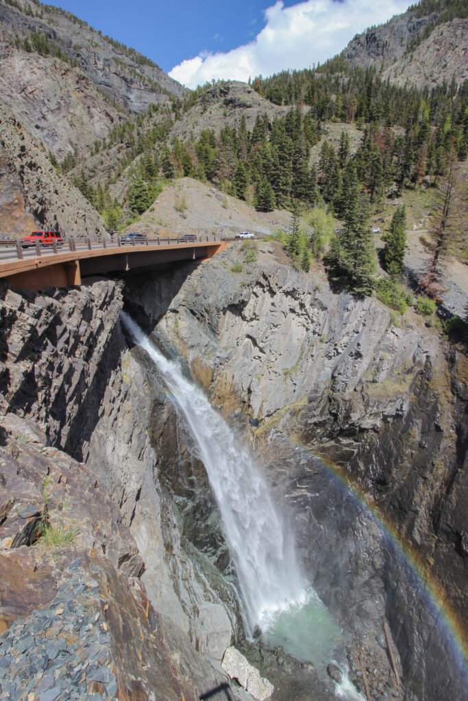
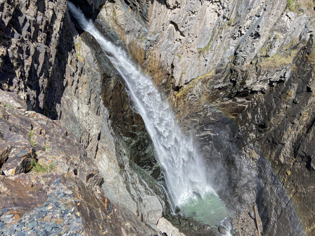
Also, the wind whipping up from that gorge where the waterfall made impact was frigid. Still, it’s a pretty unique view to have a 227-foot waterfall tumbling under a US highway like that, and I was duly enchanted by the view.
The white-knuckle driving part of the road began after Bear Creek Falls, where the highway clung ever closer to the east rim of the canyon encompassing Red Mountain Creek. I was driving since my name was the one on the rental car, which definitely did not give Elizabeth severe anxiety or anything. At least the weather was mostly holding up as we approached the famous squiggly curve. From there the highway continued up toward Red Mountain Pass at 11,017 feet. Considering Ouray is at 7687 feet, that’s quite a bit of elevation gain!
Unfortunately, right as we got in amongst the 13-14,000 foot peaks of the San Juans, the visibility started to drop again. I was a little annoyed – but only a little, because the mine country around us was still extremely cool – until we started to approach the old Idarado Mine site, which is one of the biggest abandoned mining camps in the San Juans. Right about there, the annoyance with the cloud cover turned to wonder and glee amid a heavy snow squall.
The snow continued for only a few more minutes until we got to the other side of Red Mountain Pass and began the descent into Silverton.
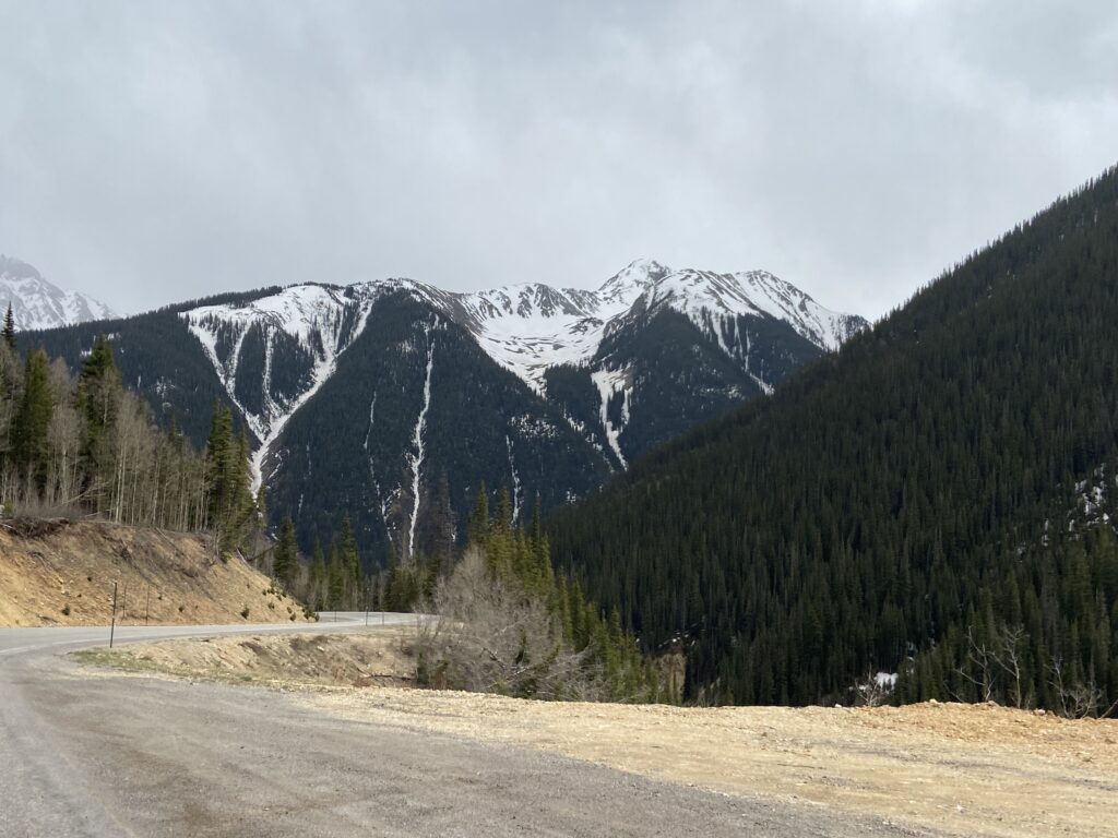
And then – Silverton. One of the highest-elevation towns of any real size in the entire United States, Silverton’s 700 people sit at 9,318 feet. Where Ouray had been overcrowded with tourists looking to see the waterfalls and the hot springs, Silverton retains a more authentically rustic charm. The streets are wide and mostly unpaved, the downtown still has the Great Plains small-town look that it would have had during the original silver rush in the late 1800s. When you top that off with a 360-degree panoramic view of 13ers around you, it feels like a little slice of heaven.
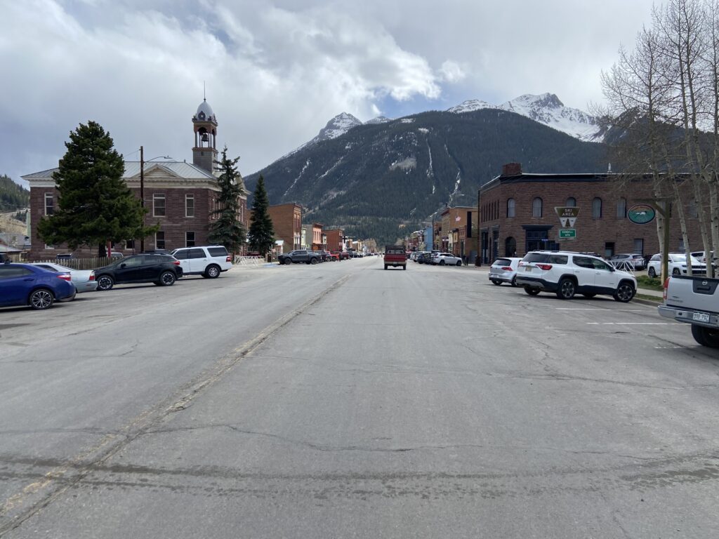
Elizabeth and I were instantly charmed by Silverton. We stopped inside one of the town’s three-story buildings, the Grand Imperial Hotel, so that we could drink a hot chocolate. The cocoa hit the spot. The fact that cocoa COULD hit the spot on a chilly afternoon hit the spot even more here on May 25, when all I wanted was to pretend that severe weather had never existed.
Thus fortified with some sugary chocolate water, we took a short walk around town. There unfortunately wasn’t a whole lot of time for us to linger in Silverton (long enough for me to get a pin, though!) if we wanted to see Box Canyon and the Ouray Hot Springs before too late at night. But there was enough time to get to see one of my favorite little pieces of history: the end tracks of the Durango and Silverton Railroad.
The trackage was built by the Denver and Rio Grande Railroad back in the height of their fight with the Santa Fe Railroad in the early 1880s, and was designed to be the funnel point for all of the gold and silver ore that was mined from the San Juans. Nowadays, the Durango and Silverton Railroad operates as a tourist draw, taking passengers up the Animas River route in what train enthusiasts all agree is one of the can’t-miss riding attractions in North America. I had desperately tried to find a way to make it work for us to ride the railroad on this trip, but there just wasn’t time. Seeing the tracks would have to do for this visit.
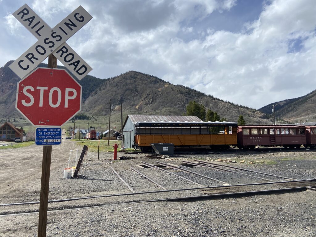
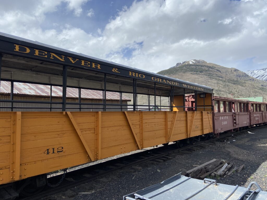
Next time Elizabeth and I visit the San Juans (okay, the time after – we’re skiing in Telluride in a few weeks), I think a priority will be to spend time in the southern part of the range. There’s a whole trip (maybe a full week trip, to be honest) that you can make that involves going to Shiprock, Mesa Verde National Park, Durango and up to Silverton, and finishing in Pagosa Springs. Alas, there’s always so many things to do and so little time to do it.
Elizabeth took a turn driving on the way back so that I could do some photography. It was my lucky day; the low clouds cleared magnificently around the time we reached Red Mountain Pass so that there was even a little bit of blue sky in the distance.
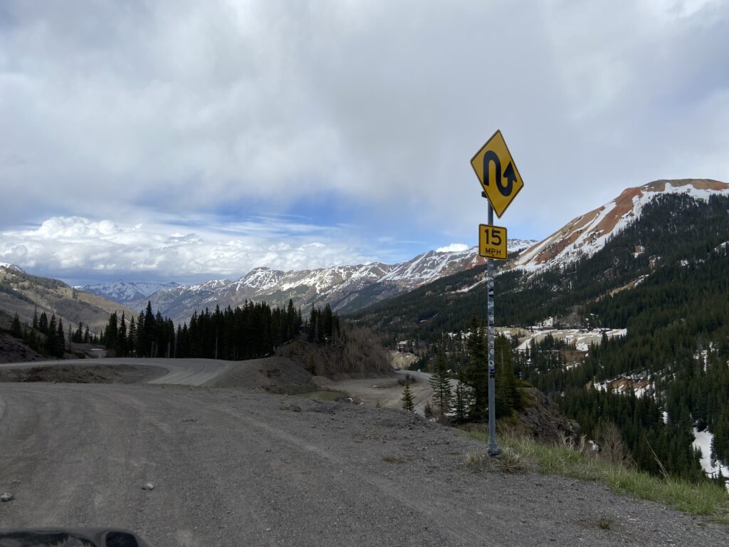
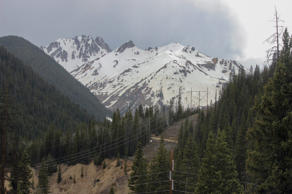
I think instead of narrating the drive, I’ll let the pictures do the talking. Here’s a couple of mountains (I think that’s Vermilion Peak in the foreground and South Lookout Peak standing at 13,420 feet in the background) on the Silverton side of the range, looking west from the highway:
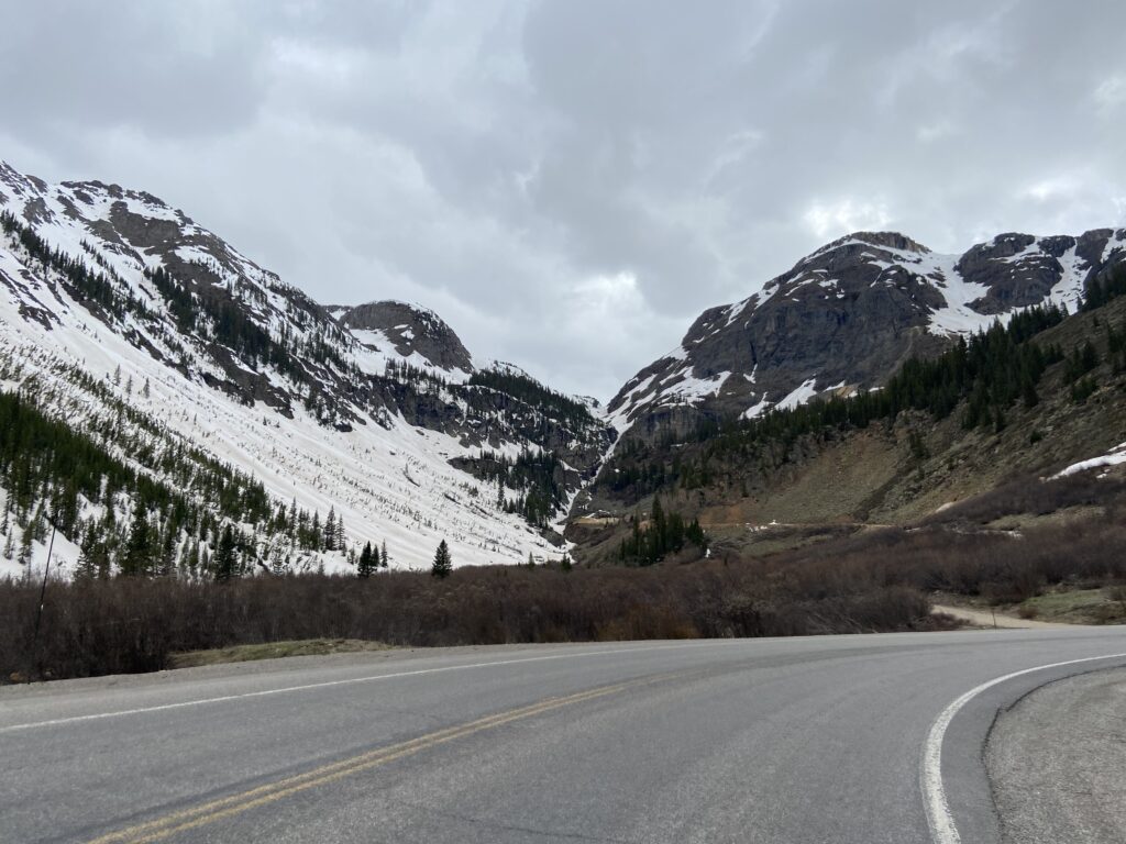
Here’s a stunning curve in the road a mile or so short of Red Mountain Pass, looking toward Lookout Peak and Telluride T11 peak (Telluride is forward and right from this picture):
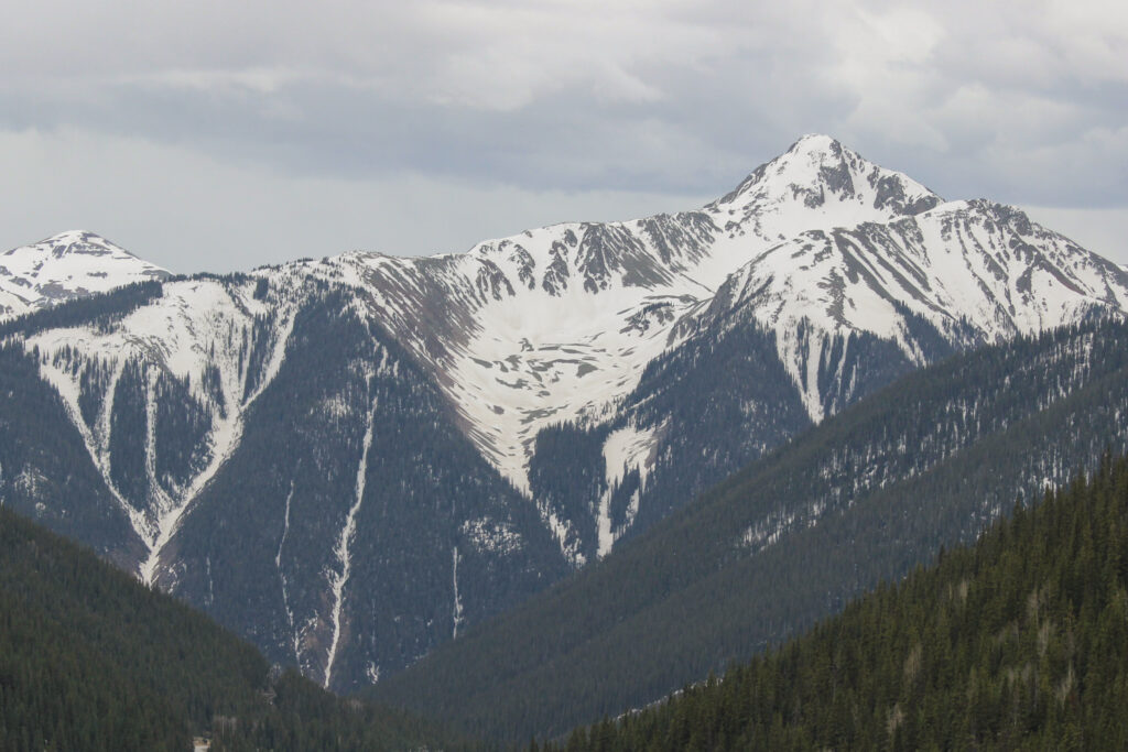
I don’t know what mountain this is, if I’m being honest. I just know it’s beautiful as hell.
Back up at Red Mountain Pass, here’s the remnants of the famed Idarado Mine:
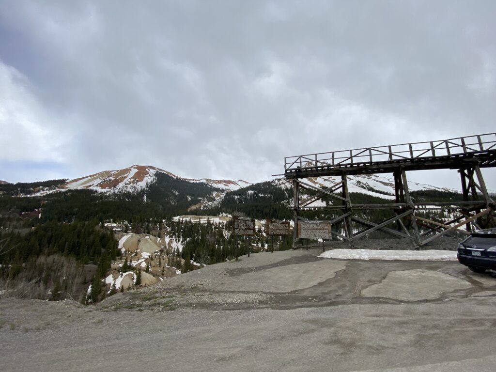
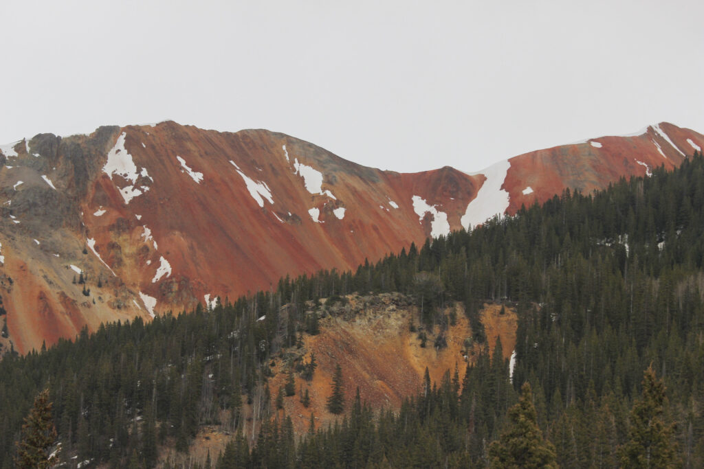
…which of course means there’s a Red Mountain nearby.
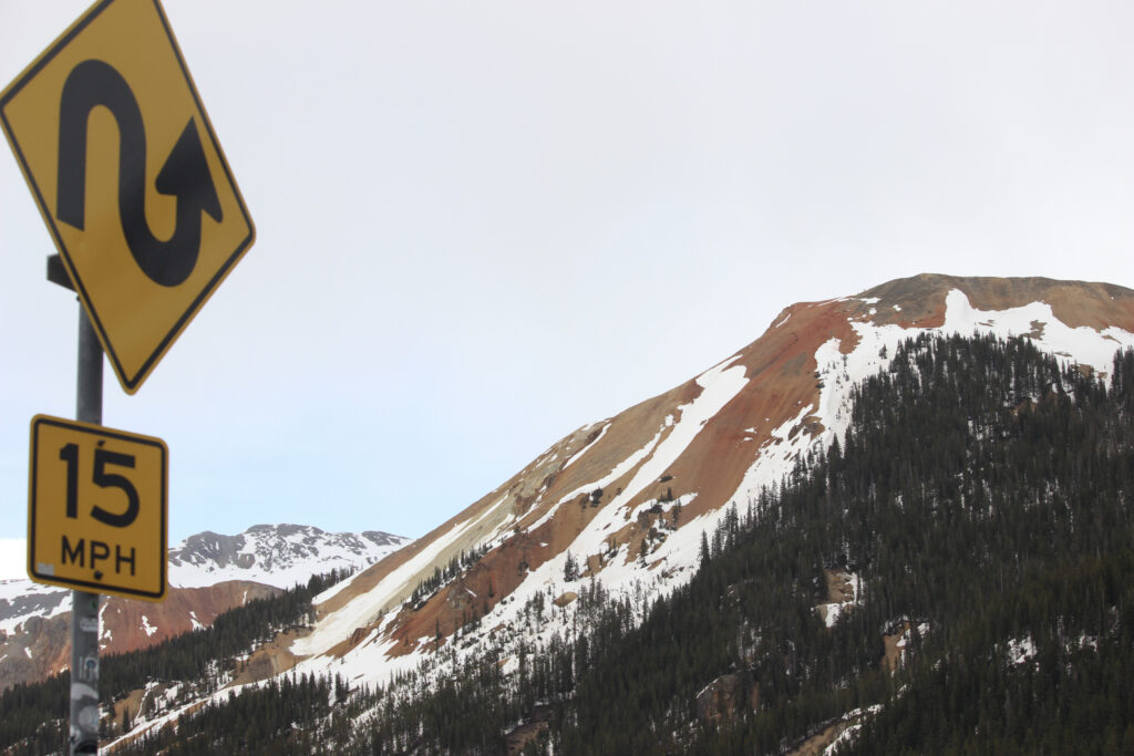
I wouldn’t call these reds quite as impressive as the mountain color we saw in Glacier, but mostly because the reds weren’t accompanied by as many other insanely vibrant colors. It was still a really cool spot.
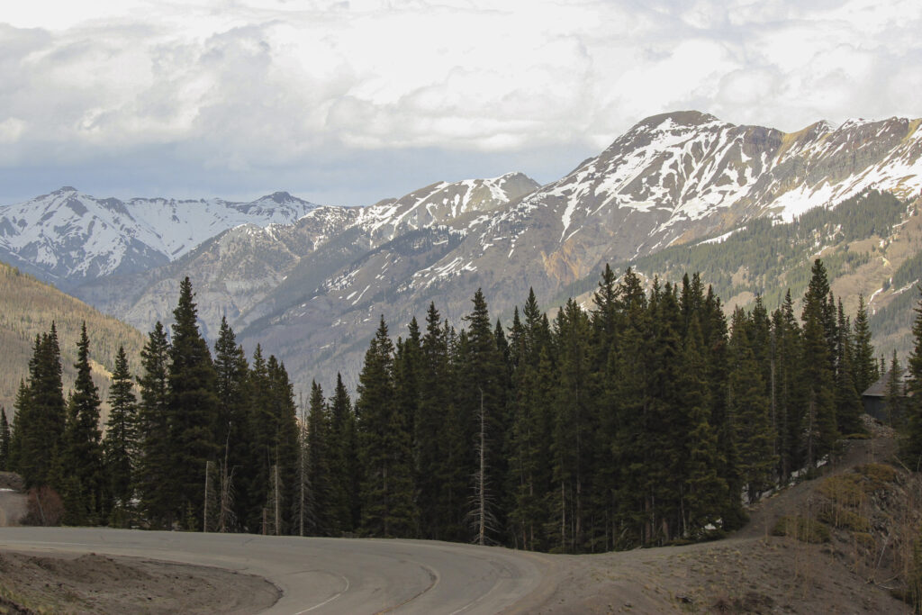
And the sweeping views from the pass as we began to descend back into Ouray… priceless.
The San Juans were passing the “mondo giga” test with flying colors.
The drive back down the Million Dollar Highway was a little less scary because we were on the inside part of the road as opposed to hanging out right by the cliff edge. I’m sure Elizabeth appreciated that she could drive it herself anyway, if I know her.
Traffic picked back up again as we approached the Ouray tourist bubble. There was one final stop we wanted to make at the northern terminus of the Million Dollar Highway – the Switzerland of North America sign. Somebody was very kind and took our picture, but only after telling me that there was no way that Oklahoma could hang in the SEC. Roll Tide! (Hope he’s doing okay after that 24-3 OU win over Alabama a few weeks ago).
The late lunch we’d had was becoming our savior. Sunlight wasn’t an issue – even though it was 5:30 local time, there were still several hours of late afternoon daylight left. That was good, because we had two more stops we wanted to make in Ouray before calling it a night. Next up: Box Canyon Park.
