Editor’s Note: This post is a transcription of a diary that I kept from my trip to Glacier National Park with family in September of 2025. It has been lightly edited for grammar and syntax, and photos have been added.
9:15 am
Currently writing from I-94 in far western North Dakota. We’re 27 miles from Montana – guess I’ll interrupt this writing when we cross through. Outside of the car are the Little Missouri Badlands of Theodore Roosevelt National Park.
I actually managed to get close to 8 hours of sleep last night. maybe could have tried to get more, but I stayed up until 10:30 to watch Tulsa upset Oklahoma State 19-12. Worth it. Woke up around 6:30 at the Days Inn. The breakfast spread wasn’t too bad – at least they had a bonafide waffle maker. Lots of guys in cowboy hats in the hotel.
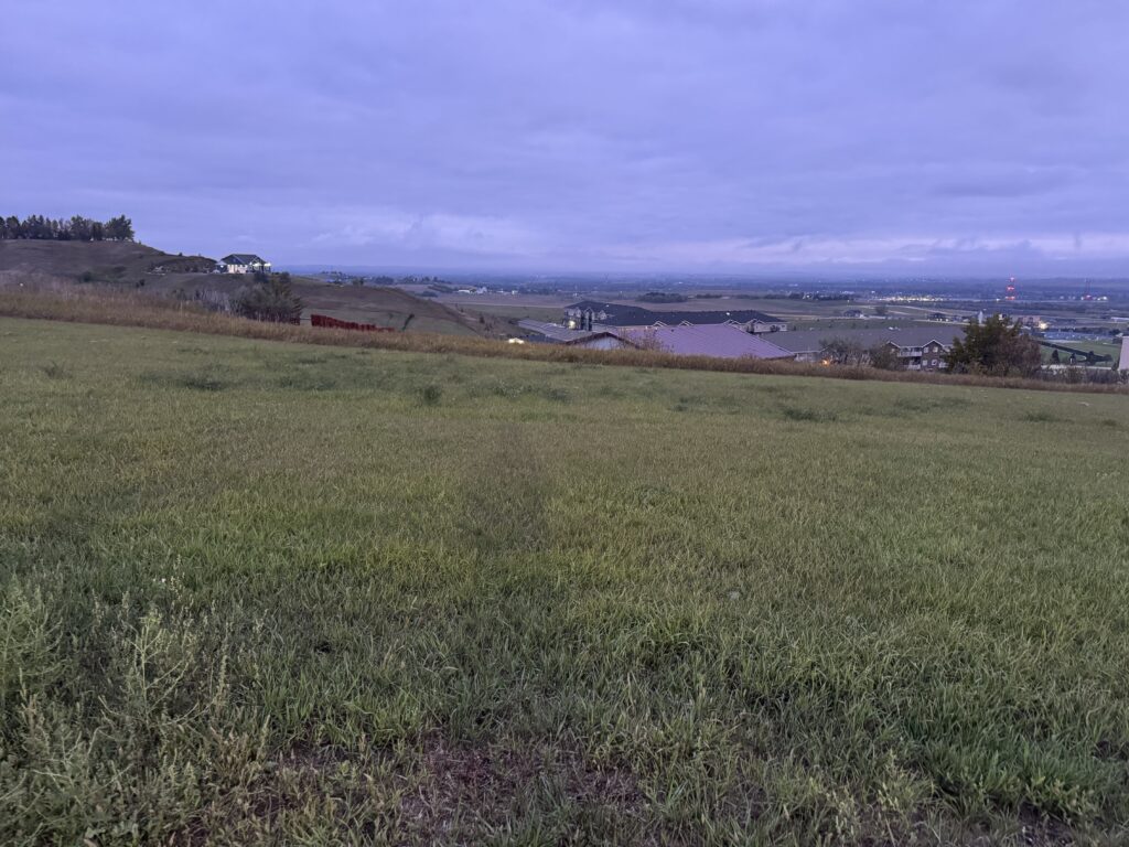
We left Bismarck around 8:00 central time and drove for 90 minutes. There was morning fog in the valley (Bismarck is on the Missouri River). It was really neat – there were spots of pure dense fog and gloom and spots of pure golden sunlight. The sun would shine off of and through fog banks and wheat/sunflower fields. The terrain was much more rolling than yesterday. (We’re in Montana now!) One funny thing – there were hay bales stacked all along the side of the Interstate. Apparently, instead of mowing the grass by the road, North Dakota accepts bids to bale it into hay.
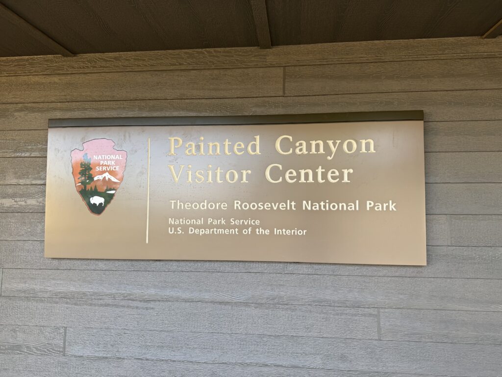
Got to the Painted Canyon Visitor’s Center of Theodore Roosevelt National Park around 8:30 mountain time. It’s interesting that the visitor center is basically an I-94 rest stop. (Editor’s note: it literally is.)
Behind the center is a sweeping panoramic view of the Painted Canyon. It sort of reminded me of the Painted Desert at Petrified Forest except it was more vegetated and much less colorful. Here is a quick collage of photos taken from the top of the railing behind the visitor center.
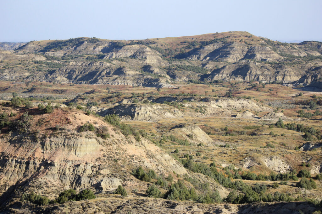
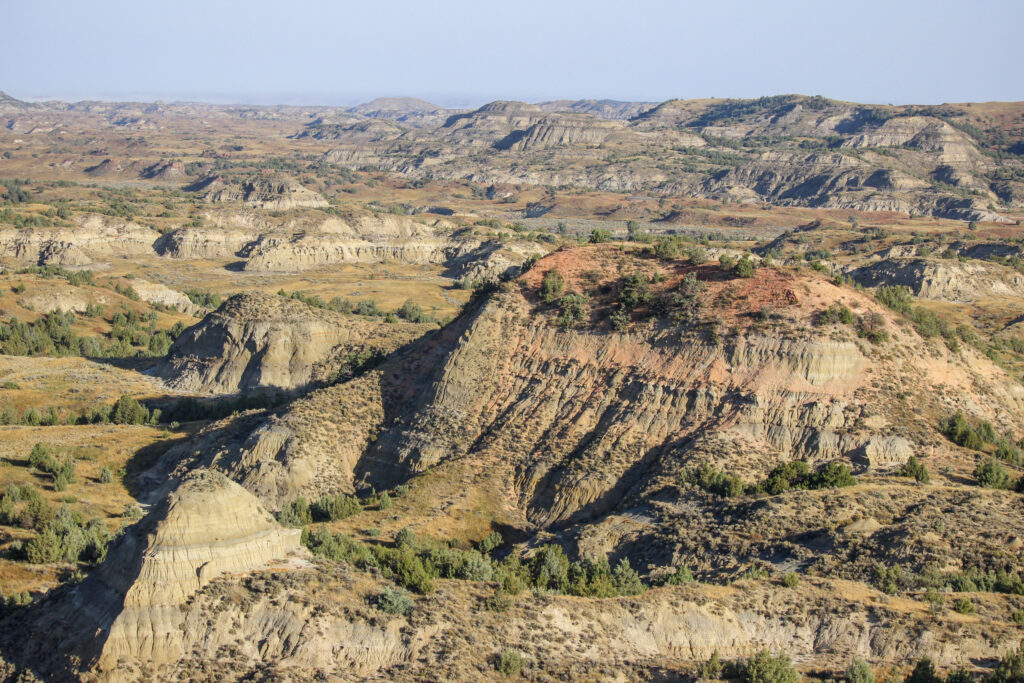
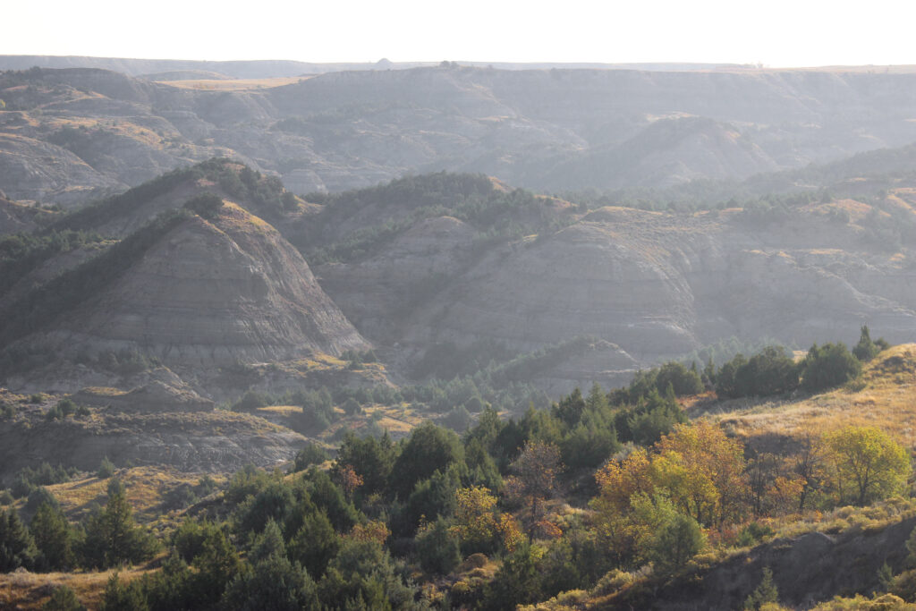
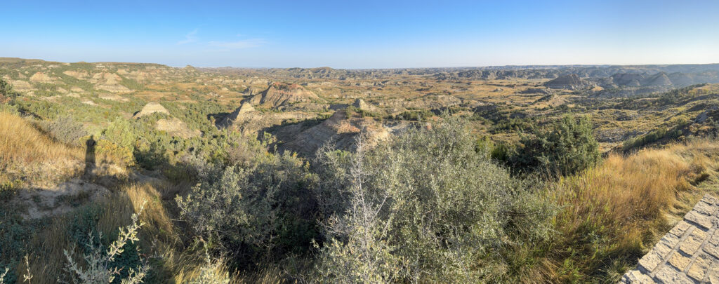
Took a quick bathroom break, put my contacts in, and filled my water bottle while my parents went into the visitor center to get their stamp. I’m not counting this stop as an official visit (like the time Elizabeth and Pam went through Olympic NP in 2017) so I didn’t need to get a stamp.
Jason is already at Makoshika so we didn’t want to keep him waiting. However, there is a short trail from the rest area called the Painted Canyon Nature Trail. It’s about a mile long and descends 144 feet to the canyon floor. We walked the trail in about 30 minutes. It was well worth the time. There was just some fall color coming into the trees, especially the cottonwoods by the Interstate. This combined in a gorgeous way with the greys and soft pinks of the badlands, especially in the early-morning light.
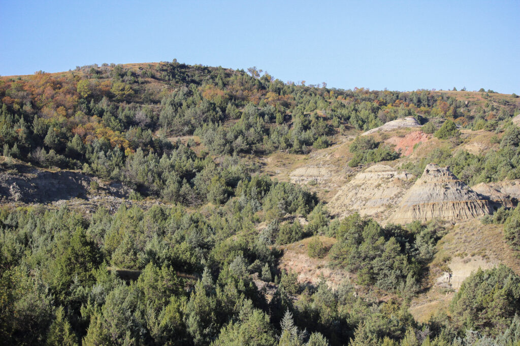
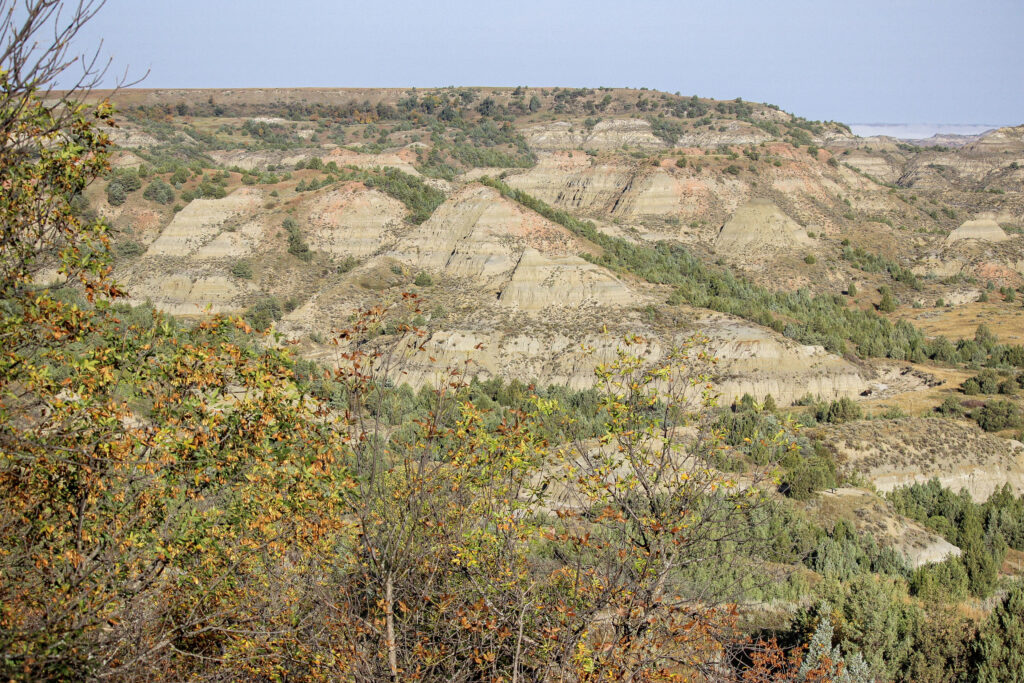
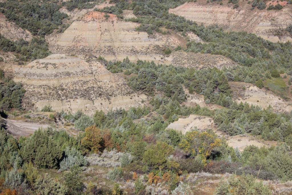
There wasn’t any fog in this part of the canyon, but dew clung to every leaf and gave a distinctive fall feel to the air as we pushed downhill through the trees.
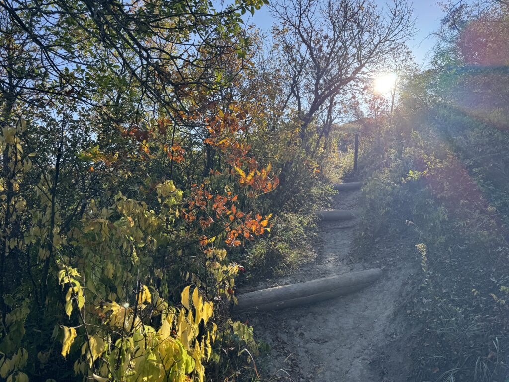
The trail was steep, but my parents managed fine. There was hardly anyone else out there this early.
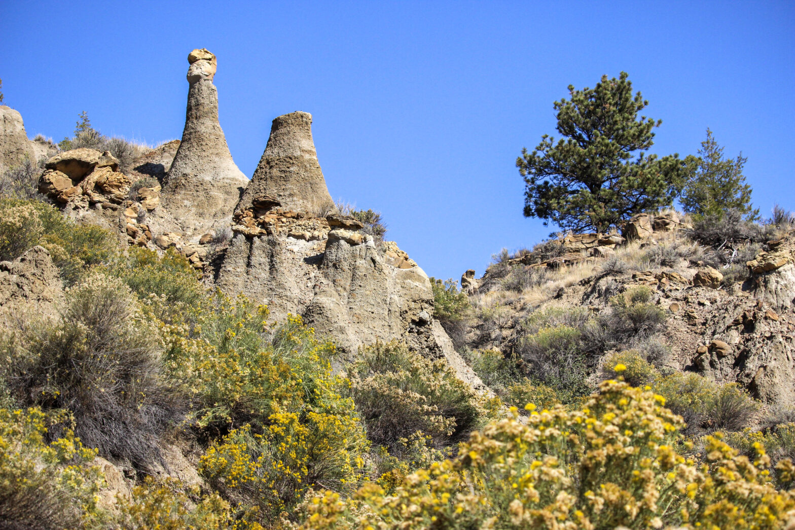
The bottom of the trail flattened into a chalky path that wound through lizard-scaled hoodoos and scrublands of juniper.
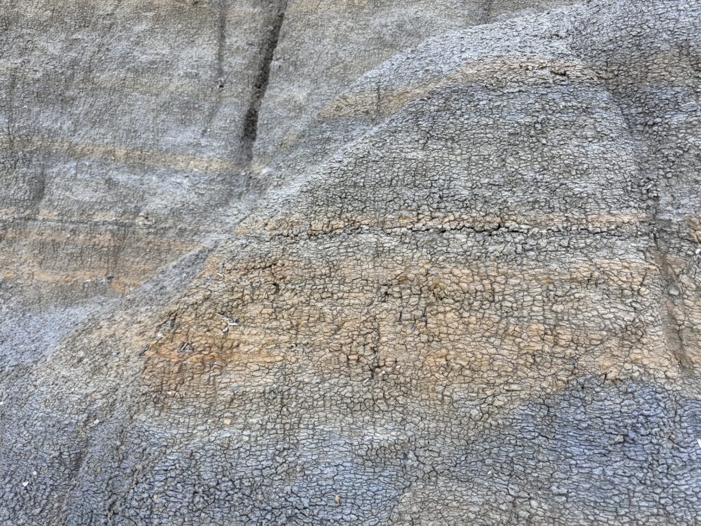
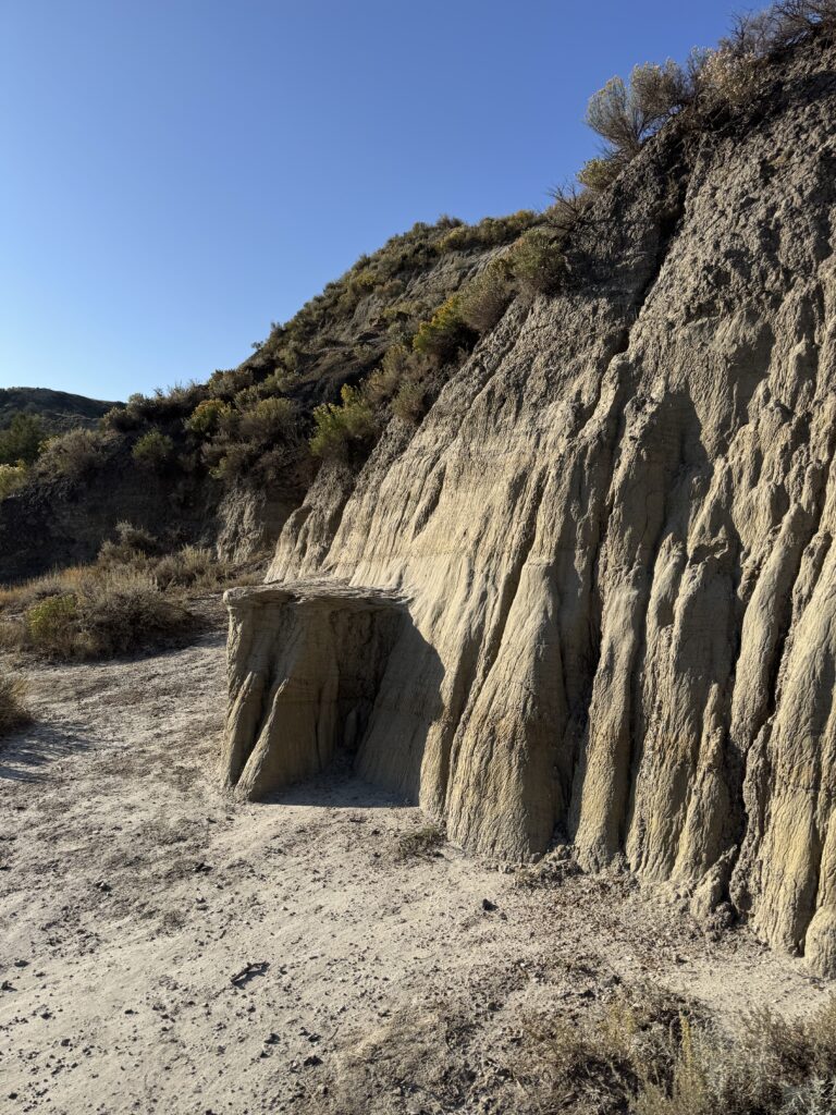
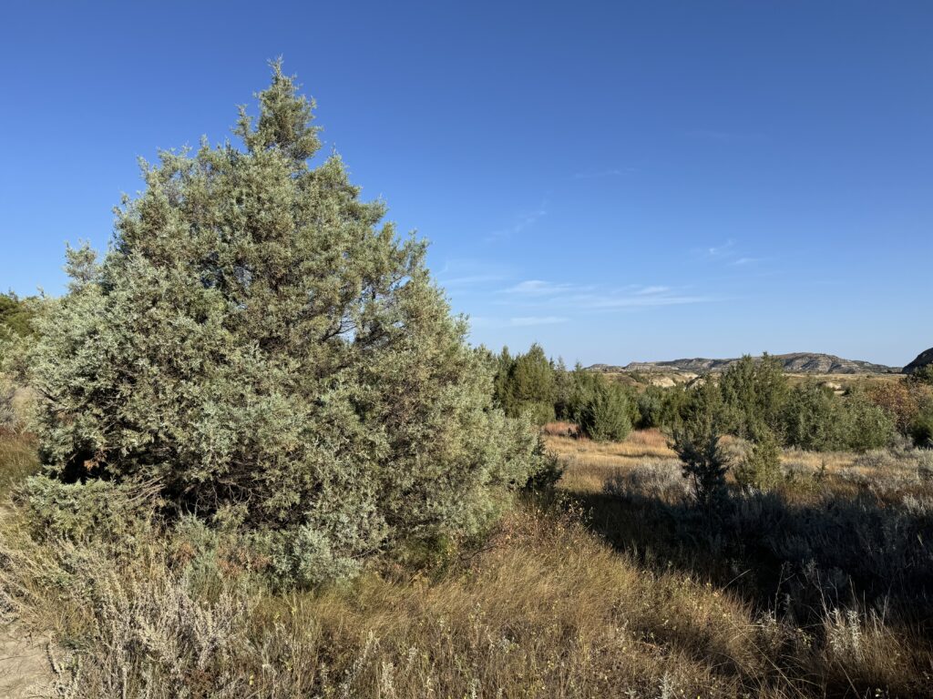
I had a strong temptation to run up a hoodoo, but I resisted because of our time crunch. Had to shed my puffy vest going back uphill even though it was no more than 60 degrees. It was step for a few minutes!
10 minutes out from Makoshika now. There are badlands as far as the eye can see coming into Glendive. Will report back.
2:45 pm
Leaving Makoshika SP and Glendive now. Absolutely perfect day for an adventure with Jason – 80 degrees and sunny. Makoshika SP encompasses a few badlands canyons just east of Glendive where Glendive Creek meets the Yellowstone.
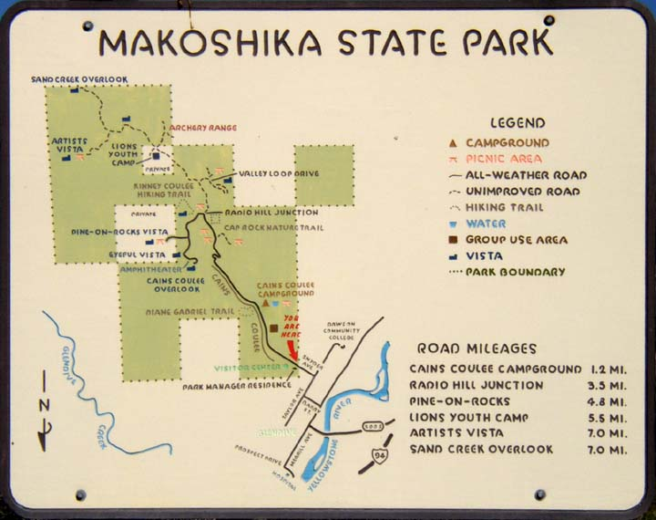
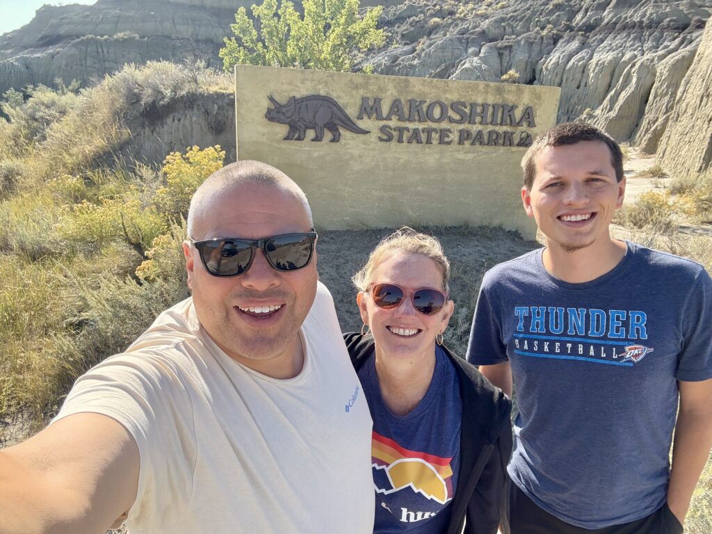
Jason was waiting for us in the state park visitor’s center parking lot. We went into the visitor’s center where – disaster! – an employee told us that the trail leading up to preserved dinosaur fossils was closed. In fairness to the park, there was a wildfire along the crest of the ridgetops earlier this year. So I guess the other way to look at it is we’re lucky that the park is open at all.
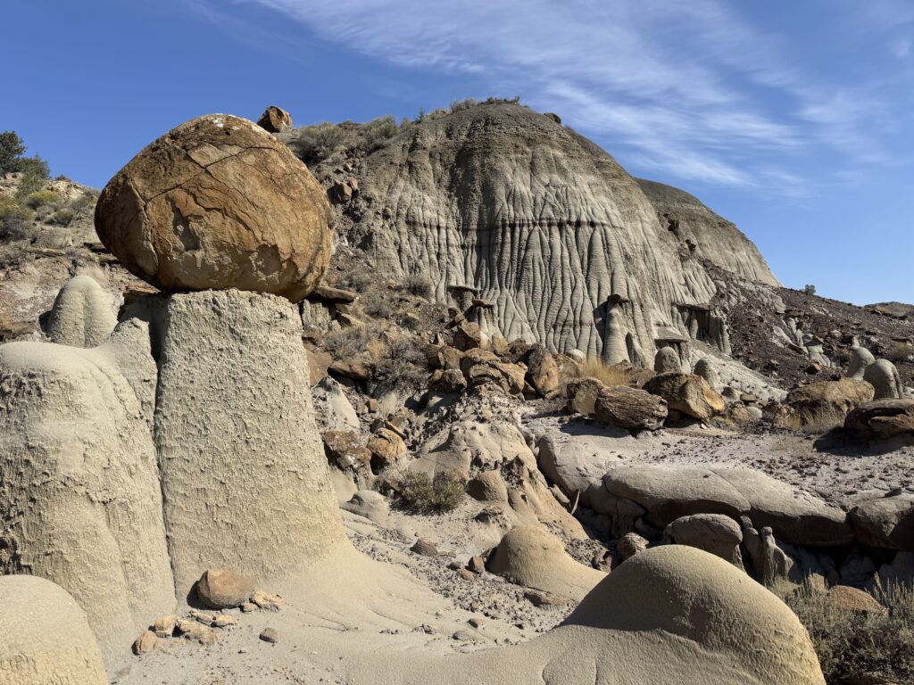
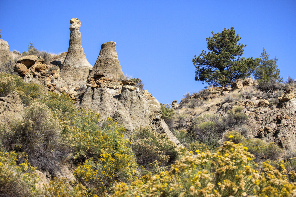
Following the advice of our friend at the visitor’s center, we took both cars all the way to the end of the main park road. This brought us to the top of the big ridges past the burn scar. One of the top attractions in Makoshika is the Twin Sisters, a pair of toadstool-like hoodoos next to each other. I wouldn’t call the walk out to them a “hike”, per se. It only took a few minutes. The Twin Sisters stood framed by the bright-blue Montana morning sky.
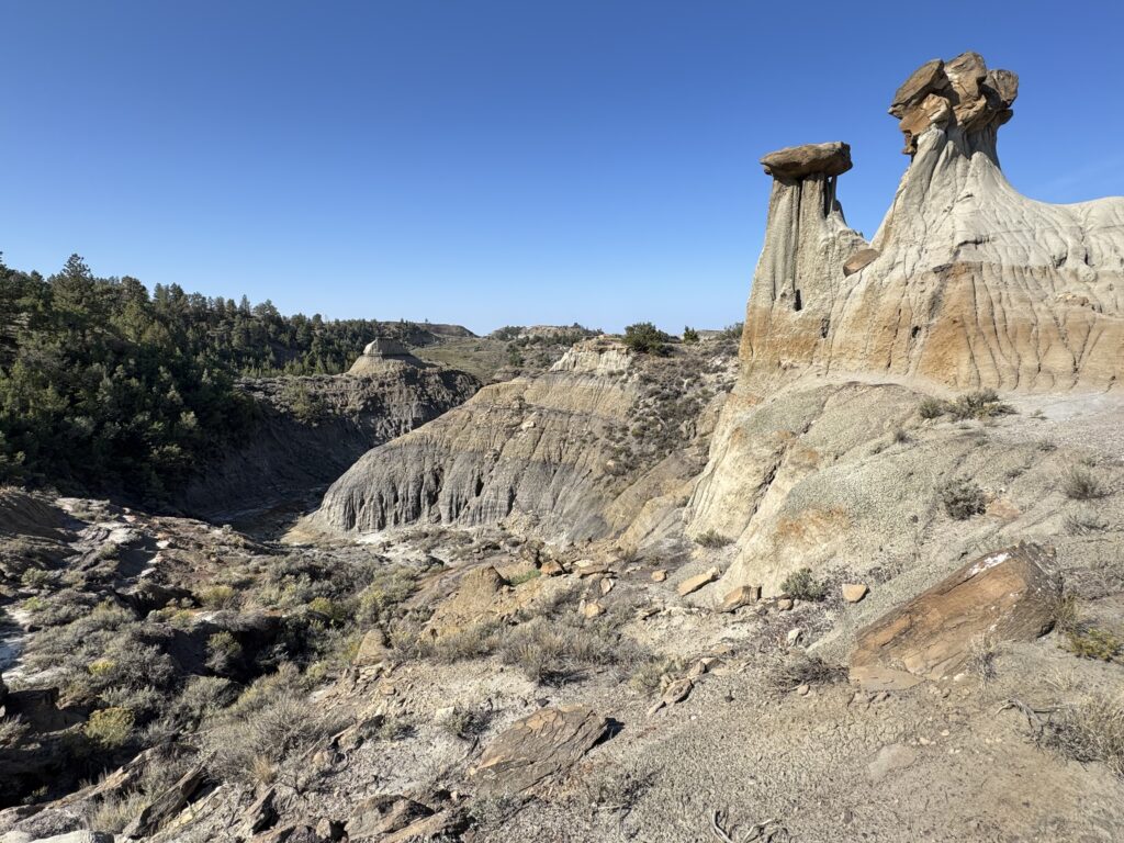
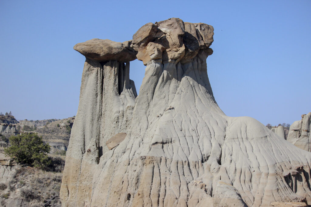
There wasn’t a trail around them to see the other side, but you could walk across some crumbly badlands clay to get there. The land was criss-crossed by gullies and ravines. There were caves and sinkholes everywhere. It was a neat spot! We wandered around the area for 10 or 15 minutes before heading back to the cars.
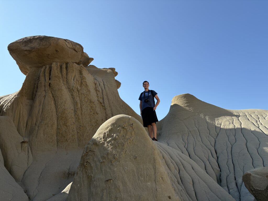
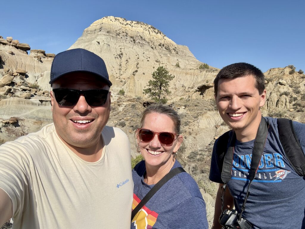
Working from back-to-front on the park road, the next stop I had flagged was Kinney Coulee in the far southeastern corner of the park. The trailhead was a dirt pulloff above the coulee. It was a one-mile loop that descended 300 feet all the way to the bottom before coming back up.
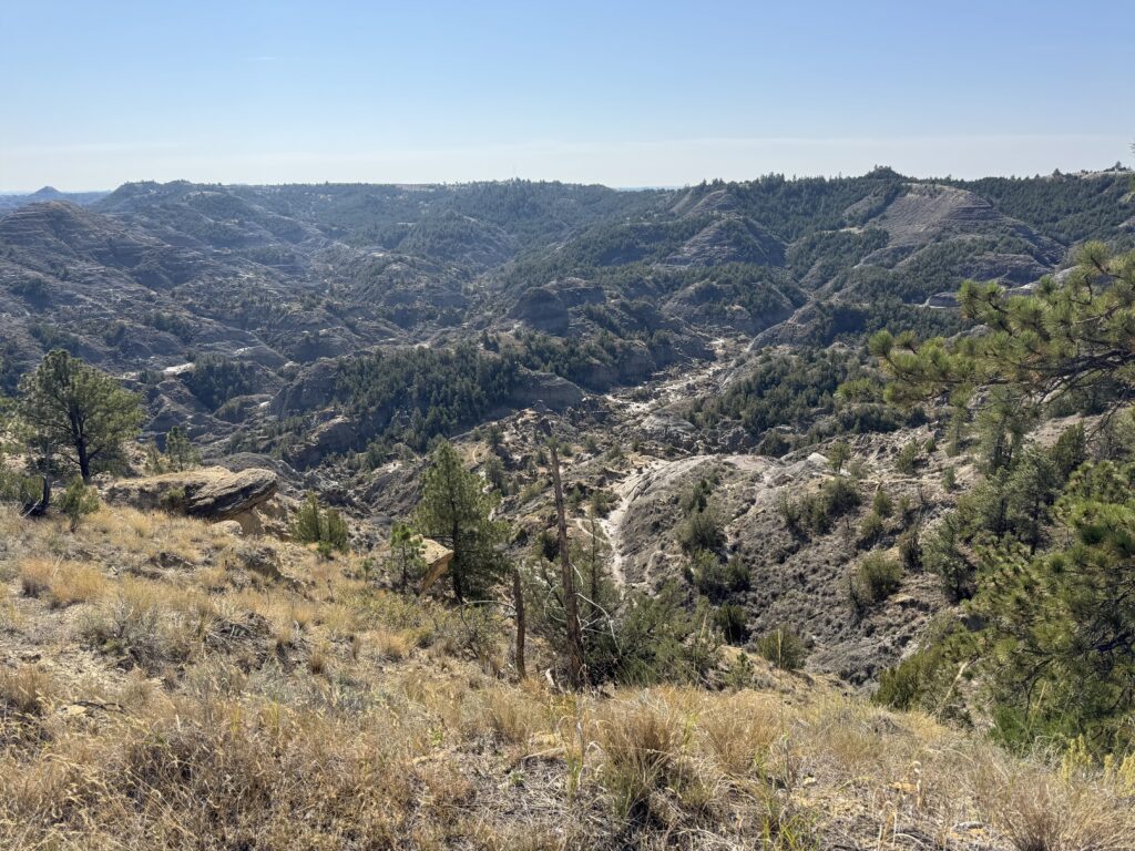
And it was in fact straight down.
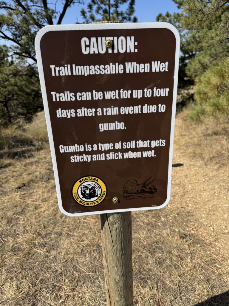
It was a very good thing we’d pulled out hiking boots and especially trekking poles. A lot of the steps downhill were reinforced by logs, which was also a good thing. Of course Jason kept hiking down as nimbly as a mountain goat. His family has gone rim-to-rim on the Grand Canyon. It makes sense that he wouldn’t think of my parents not being able to go as fast as the two of us, even though they plainly couldn’t.
Jason was in a chatty mood. Not that I minded at all. How often do we get to see a college friend these days, much less those that live in North Dakota? But it was funny to be descending into teh bottom of a canyon, route-finding through a bunch of false paths, all while Jason inveighed on the finer points of the Air Raid offense he runs with Baylor on CFB 26.
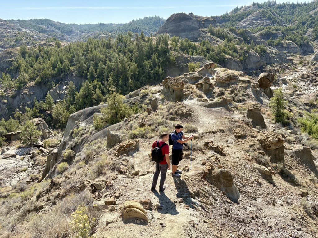
After a couple of false turns, we did reach the bottom of the coulee. The sun beat down on us a little more down here where we were sheltered from the wind. I chugged water out of my LifeStraw bottle with abandon. There was some water at the bottom of the coulee – a meager couple of brackish pools of milky clay-water. It was not a tough decision to not filter that water to drink.
The return trip seemed to go much quicker despite being uphill. The heat was part of it, especially since some of the mounds down here were of an absorbant crumbly black rock that Jason surmised must have been volcanic in nature. And yes, he was still talking about how to beat Cover 3 Sky with a 4 Verticals passing concept. We got back up and over the crest of the canyon to our cars, and not a moment too soon.
(Paused for dinner)
5:50 pm – After dinner
To pick up on my earlier story, it was clear that my mom was struggling a bit with the elevation, tough steps, and heat. We could use a break, particularly for lunch. I rode down in Jason’s truck as we headed down to the visitor’s center.
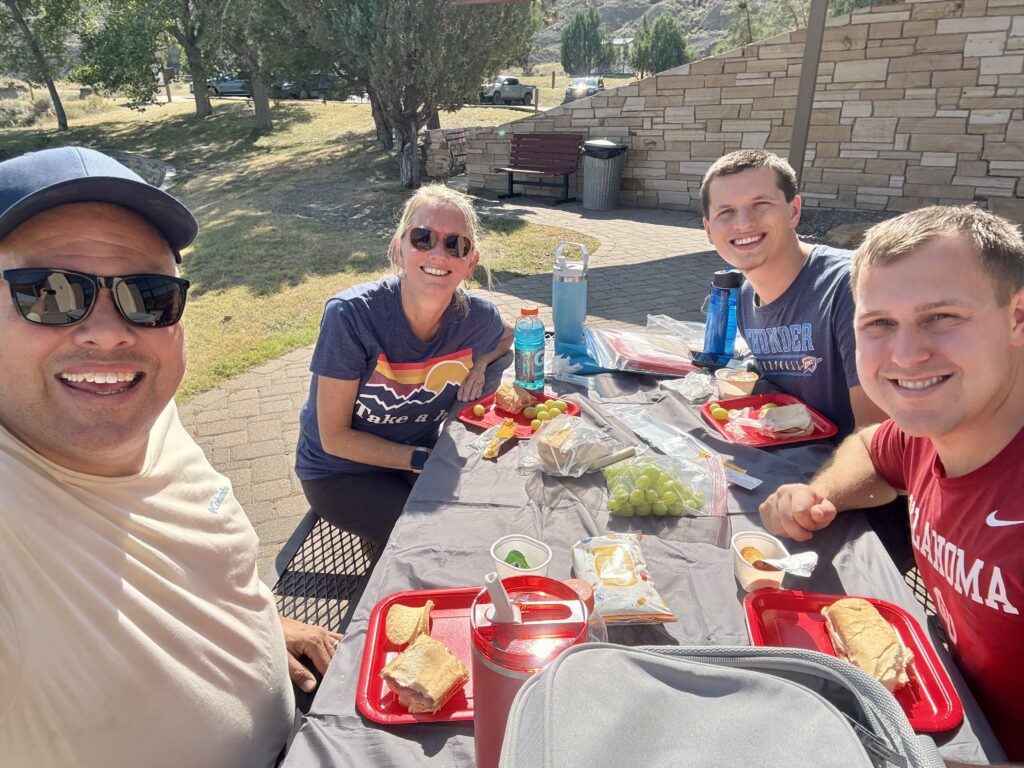
This lunch was the first of many picnics that I’m sure my parents will be having over the next six weeks. There was a picnic table behind the center that overlooked a wash and the deeper canyon behind it. It was a little sunny (would have preferred more shade) but still a pretty spot. The lunch spread was fancy – prepackaged subs from Wal-Mart, Pringles, green grapes, and cookies. Jason and I split a ham and swiss sub; how romantic!
It was now maybe 1:30. According to the travel schedule, or park departure wasn’t necessary for another hour and a half. That brought a third short trail into play for us. The Cap Rock Trail is only about half a mile long and drops less than 100 feet. Easy, right? Well, once again there were chalky, slopey stairs leading down into the wash. Maybe I’m just a wuss, but it was a little sketchy without my poles and trail runners.
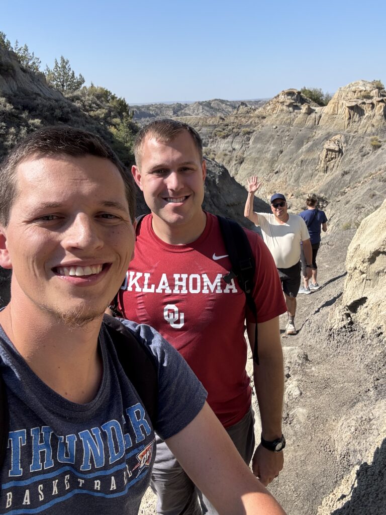
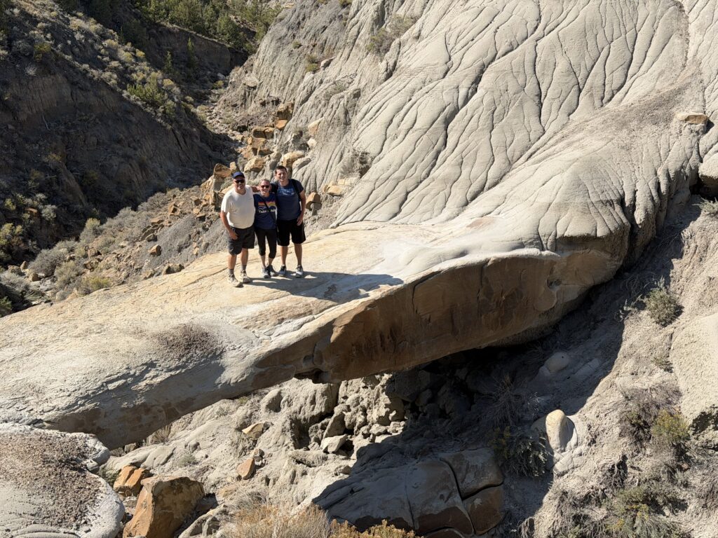
The highlight of the Cap Rock trail was a natural bridge. I imagined something like the log bridge at Petrified Forest, but this was a fair amount more majestic than I expected.
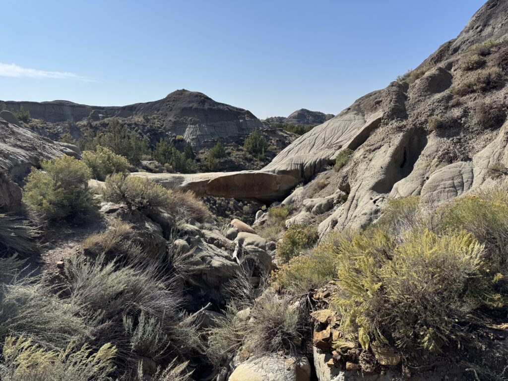
Not a whole lot of elevation above the gully below it, but the rock bridge was easily large enough to support three people.
Back to the parking lot we went, having gotten more than our money’s worth at Makoshika State Park.
It took a little while to pack the car back up to continue our journey. This gave Jason and me time to compare pictures off of our cameras and say our good-byes. Jason is a good friend; who else do you know who would drive 4 hours and stay somewhere overnight just to go to a state park with a friend and their parents for a half day? He’s very easy-going too; I know he had a good time. I think my parents did as well. Makoshika State Park – a great suggestion from Doug.
We have since moved on and are making our way west on MT-200 toward Lewistown. OU was playing Auburn earlier; we listened to the 2nd and 3rd quarters in the car. The only town with any restaurants at all along this route is Jordan, so dinner was at the Hell Creek bar, an honest-to-god western dive bar.. Been to my share of places like that where the locals are hostile, but everyone was friendly. The Helldiver burger was not as spicy as the name implies, but it was decent. The staff figured out how to change a TV at the bar to ABC just in time for OU to score the go-ahead TD with 4 minutes left and then sack Jackson Arnold for a game-clinching safety. 24-17, good guys.
The sun keeps sinking lower as we head west. There are dozens of pronghorn along this highway. The first mountains of the trip are visible in the distance near Lewistown.
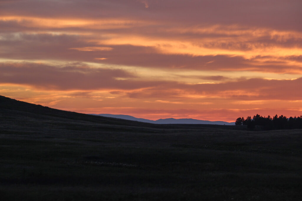
Life’s pretty good.
